File:Aerial view of Landkreis Waldshut - 2010 (4798202711).jpg
Jump to navigation
Jump to search
Size of this preview: 450 × 600 pixels. Other resolutions: 180 × 240 pixels | 360 × 480 pixels | 576 × 768 pixels | 768 × 1,024 pixels | 1,536 × 2,048 pixels | 2,736 × 3,648 pixels.
Original file (2,736 × 3,648 pixels, file size: 3.91 MB, MIME type: image/jpeg)
Captions
Captions
Add a one-line explanation of what this file represents
| Description |
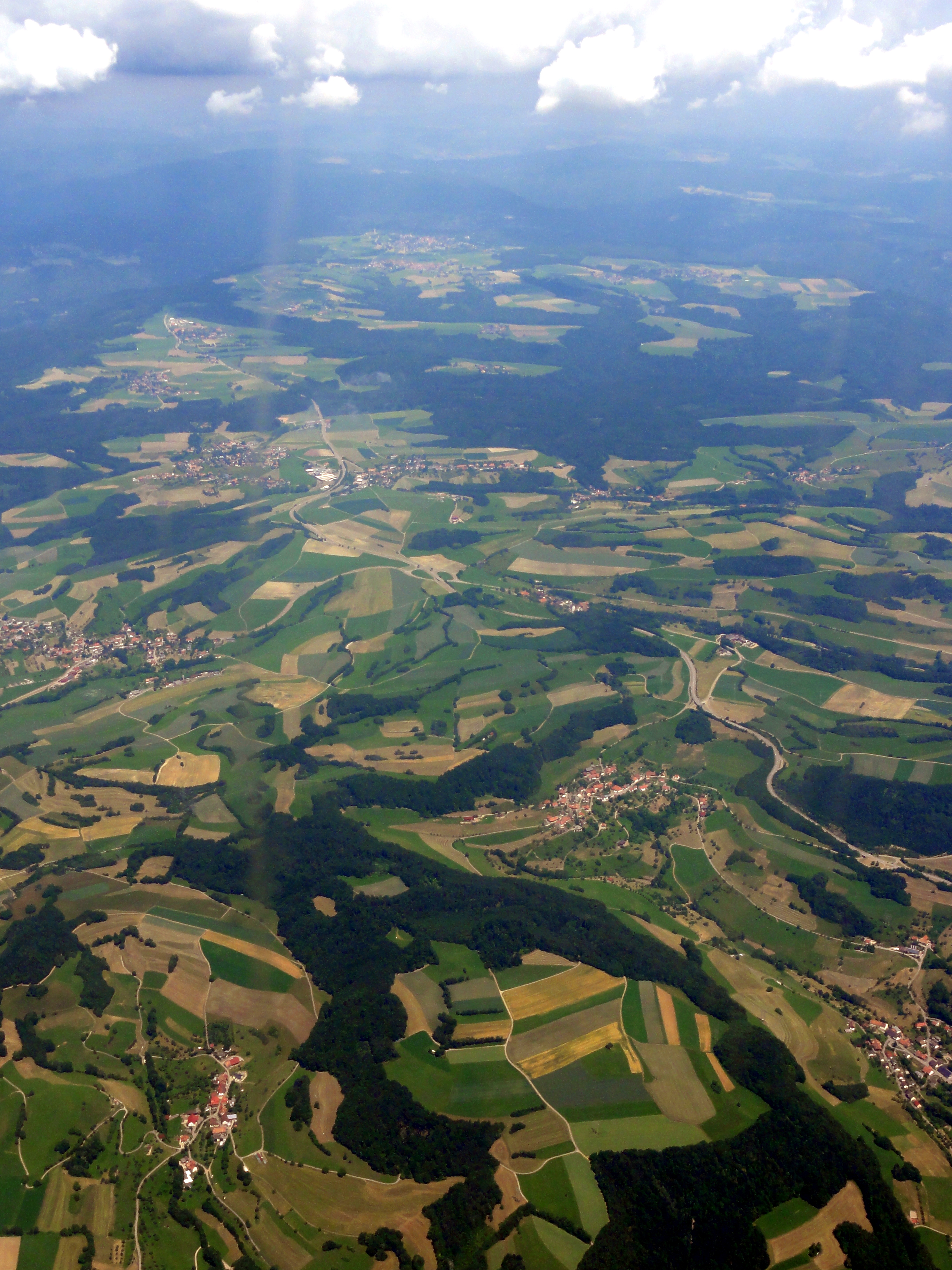
English: Aerial view of Landkreis Waldshut, taken from an airplane (EXIF location wrong) |
||
| Date | |||
| Source | Flickr: birdview | ||
| Author | Martin Abegglen | ||
| Permission (Reusing this file) |
This file is licensed under the Creative Commons Attribution-Share Alike 2.0 Generic license.
|
| Camera location | | View this and other nearby images on: OpenStreetMap |
|---|
.jpg¶ms=047.638210_N_0008.193880_E_globe:Earth_type:camera__&language=en)
| Object location | | View this and other nearby images on: OpenStreetMap |
|---|
.jpg¶ms=047.669320_N_0008.162470_E_globe:Earth_class:object_type:object__&language=en)
| Annotations | This image is annotated: View the annotations at Commons |
.jpg)
File history
Click on a date/time to view the file as it appeared at that time.
| Date/Time | Thumbnail | Dimensions | User | Comment | |
|---|---|---|---|---|---|
| current | 14:46, 9 January 2012 | | 2,736 × 3,648 (3.91 MB) | Flickr upload bot (talk | contribs) | Uploaded from http://flickr.com/photo/30713600@N00/4798202711 using Flickr upload bot |
You cannot overwrite this file.
File usage on Commons
The following page uses this file:
- File:Aerial view of Switzerland - unidentified location 2.jpg (file redirect)
.jpg&oldid=876443670)