File:Admiralty Chart No 842 Papra Straits with Views, Published 1793.jpg
Jump to navigation
Jump to search

Size of this preview: 450 × 600 pixels. Other resolutions: 180 × 240 pixels | 360 × 480 pixels | 576 × 768 pixels | 768 × 1,024 pixels | 1,537 × 2,048 pixels | 6,246 × 8,322 pixels.
Original file (6,246 × 8,322 pixels, file size: 7.89 MB, MIME type: image/jpeg)
Captions
Captions
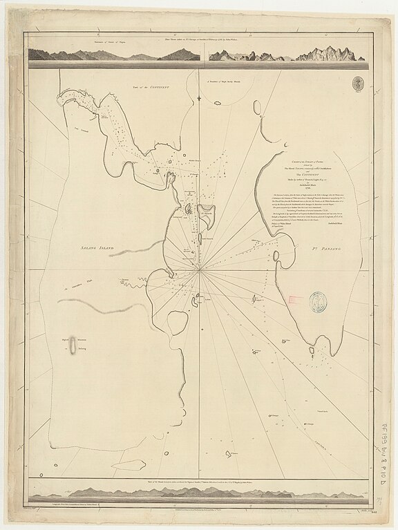
Chart of the strait of Pak Phra
Summary[edit]
| Description |
English: Chart of the strait of Papra (Chong Pak Phra) formed by the island Salang, commonly called Junkseyloan and the continent by Archibald Blair, 1788. Not current - not to be used for navigation! |
||||||||||||||||||||||||||
| Date | |||||||||||||||||||||||||||
| Source |
|
||||||||||||||||||||||||||
| Author |
|
||||||||||||||||||||||||||

Licensing[edit]
This work created by the United Kingdom Government is in the public domain.
This is because it is one of the following:
HMSO has declared that the expiry of Crown Copyrights applies worldwide (ref: HMSO Email Reply)
|
 |
File history
Click on a date/time to view the file as it appeared at that time.
| Date/Time | Thumbnail | Dimensions | User | Comment | |
|---|---|---|---|---|---|
| current | 20:27, 25 March 2024 | | 6,246 × 8,322 (7.89 MB) | Kognos (talk | contribs) | Uploaded a work by {{Creator:United Kingdom Hydrographic Office}} from {{Institution:Bibliothèque nationale de France}} with UploadWizard |
You cannot overwrite this file.
File usage on Commons
The following 2 pages use this file: