File:Admiralty Chart No 447 Green Island harbour, in the northwest angle of Jamaica, Surveyed 1832.jpg
Jump to navigation
Jump to search

Size of this preview: 566 × 599 pixels. Other resolutions: 227 × 240 pixels | 453 × 480 pixels | 726 × 768 pixels | 967 × 1,024 pixels | 1,935 × 2,048 pixels | 3,493 × 3,697 pixels.
Original file (3,493 × 3,697 pixels, file size: 1.22 MB, MIME type: image/jpeg)
Captions
Captions
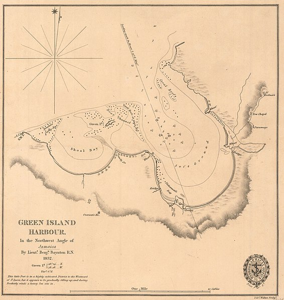
Nautical chart of Green Island harbour, Jamaica
Summary
[edit]
| Description |
English: Nautical chart of Green Island harbour, Jamaica. Surveyed by Lieut. Benjn. Baynton 1832. Not current - not to be used for navigation! |
||||||||||
| Date | |||||||||||
| Source | https://earthworks.stanford.edu/catalog/princeton-9880vt44h | ||||||||||
| Author |
|
||||||||||
Licensing
[edit]
This work created by the United Kingdom Government is in the public domain.
This is because it is one of the following:
HMSO has declared that the expiry of Crown Copyrights applies worldwide (ref: HMSO Email Reply)
|
 |
File history
Click on a date/time to view the file as it appeared at that time.
| Date/Time | Thumbnail | Dimensions | User | Comment | |
|---|---|---|---|---|---|
| current | 16:05, 16 July 2020 | | 3,493 × 3,697 (1.22 MB) | Kognos (talk | contribs) | Uploaded a work by Hydrographic Office of the Admiralty from https://earthworks.stanford.edu/catalog/princeton-9880vt44h with UploadWizard |
You cannot overwrite this file.
File usage on Commons
There are no pages that use this file.