File:Above Labrador Bay - geograph.org.uk - 493363.jpg
Jump to navigation
Jump to search
No higher resolution available.
Above_Labrador_Bay_-_geograph.org.uk_-_493363.jpg (640 × 480 pixels, file size: 105 KB, MIME type: image/jpeg)
Captions
Captions
Add a one-line explanation of what this file represents
Summary
[edit]| Description |
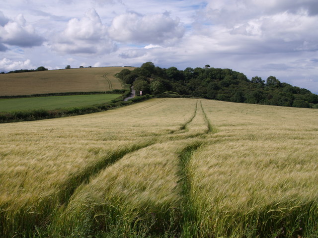
English: Above Labrador Bay. Tramlines across a field of barley beside the A379 (running along to the left). The hill is The Beacon and the road going up it (to the left of the bend warning sign on the main road) is Commons Lane, which must have been the early route to Shaldon before the corniche around the headland was constructed. Taken from a hedged track that leads from 493359 to the coast path. |
||
| Date | |||
| Source | geograph.org.uk | ||
| Author | Derek Harper | ||
| Permission (Reusing this file) |
This file is licensed under the Creative Commons Attribution-Share Alike 2.0 Generic license. Attribution: Derek Harper
|
||
| Attribution (required by the license) | Derek Harper / Above Labrador Bay / | ||

| Camera location | | View this and other nearby images on: OpenStreetMap |
|---|
_heading:0.00&language=en)
| Object location | | View this and other nearby images on: OpenStreetMap |
|---|
_heading:0.00&language=en)
File history
Click on a date/time to view the file as it appeared at that time.
| Date/Time | Thumbnail | Dimensions | User | Comment | |
|---|---|---|---|---|---|
| current | 04:12, 5 February 2011 | | 640 × 480 (105 KB) | GeographBot (talk | contribs) | == {{int:filedesc}} == {{Information |description={{en|1=Above Labrador Bay Tramlines across a field of barley beside the A379 (running along to the left). The hill is The Beacon and the road going up it (to the left of the bend warning sign on the main r |
You cannot overwrite this file.
File usage on Commons
There are no pages that use this file.