File:Abkhazia Locator map.svg
Jump to navigation
Jump to search

Size of this PNG preview of this SVG file: 718 × 599 pixels. Other resolutions: 288 × 240 pixels | 575 × 480 pixels | 920 × 768 pixels | 1,227 × 1,024 pixels | 2,454 × 2,048 pixels | 3,058 × 2,552 pixels.
Original file (SVG file, nominally 3,058 × 2,552 pixels, file size: 209 KB)
Captions
Captions
Add a one-line explanation of what this file represents
Summary
[edit]
| Description |
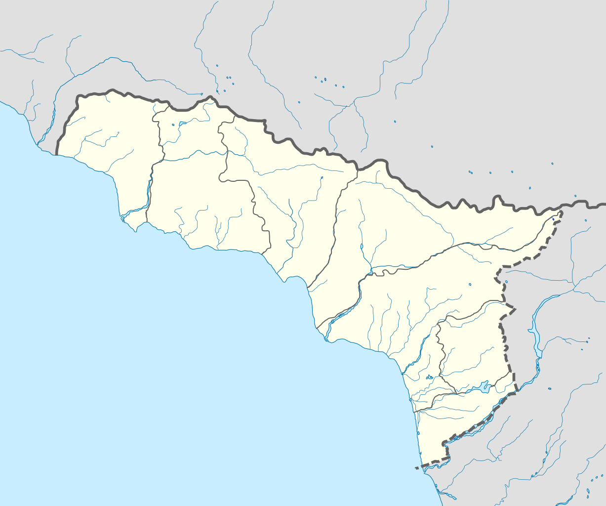
Русский: Обзорная карта Абхазии. Деление на районы приведено в соответствии с административно-территориальным делением Республики Абхазия English: Locator map of Abkhazia. Division to districts is shown according to administrative-territorial division of Republic of Abkhazia |
| Date | |
| Source | File:Карта_Абхазии_обзорная.svg |
| Author | originally by Dinamik, modified by Iguacu |
| SVG development |
Licensing
[edit]
| I, the copyright holder of this work, release this work into the public domain. This applies worldwide. In some countries this may not be legally possible; if so: I grant anyone the right to use this work for any purpose, without any conditions, unless such conditions are required by law. |
File history
Click on a date/time to view the file as it appeared at that time.
| Date/Time | Thumbnail | Dimensions | User | Comment | |
|---|---|---|---|---|---|
| current | 02:02, 13 August 2013 | | 3,058 × 2,552 (209 KB) | Iguacu (talk | contribs) | Reverted to version as of 05:56, 1 February 2010 sites hosted by Narod.ru are not actually reliable sources. |
| 17:41, 25 June 2013 |  | 3,058 × 2,552 (209 KB) | Chipmunkdavis (talk | contribs) | Rv unexplained change removing an administrative division | |
| 18:38, 18 June 2013 |  | 3,058 × 2,552 (207 KB) | Giorgi Balakhadze (talk | contribs) | Reverted to version as of 11:02, 31 January 2010 | |
| 21:48, 27 April 2013 |  | 3,058 × 2,552 (209 KB) | PlatonPskov (talk | contribs) | Уточение границ Ткуарчалского и Галского районов http://www.ethno-kavkaz.narod.ru/ETHNO-CAUCASUS.files/Abkhaziaabkh2011.png | |
| 05:56, 1 February 2010 |  | 3,058 × 2,552 (209 KB) | Iguacu (talk | contribs) | small changes | |
| 13:17, 31 January 2010 |  | 3,058 × 2,552 (209 KB) | Iguacu (talk | contribs) | one more little correction. | |
| 12:46, 31 January 2010 |  | 3,058 × 2,552 (209 KB) | Iguacu (talk | contribs) | + borders of Tkurchal District | |
| 11:02, 31 January 2010 |  | 3,058 × 2,552 (207 KB) | Iguacu (talk | contribs) | {{Information |Description={{en|1=Locator map of Abkhazia}} |Source=File:Карта_Абхазии_обзорная.svg |Author=originally by Dinamik, modified by Iguacu |Date=31-I-2010 |Permission=see below |other_ve |
You cannot overwrite this file.
File usage on Commons
The following 23 pages use this file:
- File:Abkhazia Relief Map.png
- File:Gagra in Abkhazia.svg
- File:Gagra in Abkhazia (no secession).svg
- File:Gagra in Abkhazia (semi-secession).svg
- File:Gali in Abkhazia.svg
- File:Gali in Abkhazia (no secession).svg
- File:Gali in Abkhazia (semi-secession).svg
- File:Gudauta in Abkhazia.svg
- File:Gudauta in Abkhazia (no secession).svg
- File:Gudauta in Abkhazia (semi-secession).svg
- File:Gulripsh in Abkhazia.svg
- File:Gulripsh in Abkhazia (no secession).svg
- File:Gulripsh in Abkhazia (semi-secession).svg
- File:Merkheuli Locator.png
- File:Ochamchira in Abkhazia.svg
- File:Ochamchira in Abkhazia (no secession).svg
- File:Ochamchira in Abkhazia (semi-secession).svg
- File:Sukhumi in Abkhazia.svg
- File:Sukhumi in Abkhazia (no secession).svg
- File:Sukhumi in Abkhazia (semi-secession).svg
- File:Tquarchal in Abkhazia.svg
- File:Tquarchal in Abkhazia (no secession).svg
- File:Tquarchal in Abkhazia (semi-secession).svg
.svg)
.svg)
.svg)
.svg)
.svg)
.svg)
.svg)
.svg)
.svg)
.svg)
.svg)
.svg)
.svg)
.svg)
File usage on other wikis
The following other wikis use this file:
- Usage on af.wikipedia.org
- Usage on an.wikipedia.org
- Usage on ar.wikipedia.org
- Usage on ast.wikipedia.org
- Usage on av.wikipedia.org
- Usage on az.wikipedia.org
- Usage on ba.wikipedia.org
- Usage on bn.wikipedia.org
- Usage on bs.wikipedia.org
- Usage on ce.wikipedia.org
- Usage on cs.wikipedia.org
View more global usage of this file.