File:Aberdeen new routes map.svg
Jump to navigation
Jump to search

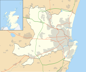
Size of this PNG preview of this SVG file: 719 × 600 pixels. Other resolutions: 288 × 240 pixels | 575 × 480 pixels | 921 × 768 pixels | 1,227 × 1,024 pixels | 2,455 × 2,048 pixels | 1,425 × 1,189 pixels.
Original file (SVG file, nominally 1,425 × 1,189 pixels, file size: 638 KB)
Captions
Captions
Add a one-line explanation of what this file represents
Summary[edit]
| Description |
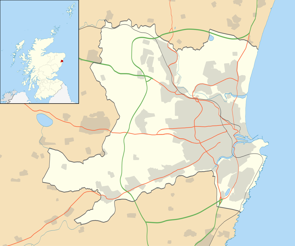
Blank map of Aberdeen, UK with the following information shown:
Equirectangular map projection on WGS 84 datum, with N/S stretched 180% Map updated with new roads hierarchy as published by Aberdeen City Council. Geographic limits:
|
| Date | |
| Source |
|
| Author | Nilfanion, created using Ordnance Survey data |
| Permission (Reusing this file) |
This file is licensed under the Creative Commons Attribution-Share Alike 3.0 Unported license. Attribution: Contains Ordnance Survey data © Crown copyright and database right
|
| Other versions | File:Aberdeen UK blank map.svg - Blank map |
Licensing[edit]
This file is licensed under the Creative Commons Attribution-Share Alike 3.0 Unported license.
- You are free:
- to share – to copy, distribute and transmit the work
- to remix – to adapt the work
- Under the following conditions:
- attribution – You must give appropriate credit, provide a link to the license, and indicate if changes were made. You may do so in any reasonable manner, but not in any way that suggests the licensor endorses you or your use.
- share alike – If you remix, transform, or build upon the material, you must distribute your contributions under the same or compatible license as the original.
File history
Click on a date/time to view the file as it appeared at that time.
| Date/Time | Thumbnail | Dimensions | User | Comment | |
|---|---|---|---|---|---|
| current | 19:46, 6 June 2021 | | 1,425 × 1,189 (638 KB) | Cirrusdragoon (talk | contribs) | Uploaded a work by User:Nilfanion from File:Aberdeen_UK_location_map.svg with UploadWizard |
You cannot overwrite this file.
File usage on Commons
There are no pages that use this file.
File usage on other wikis
The following other wikis use this file:
- Usage on en.wikipedia.org