File:A farm at the side of the River Humber - geograph.org.uk - 50749.jpg
Jump to navigation
Jump to search
No higher resolution available.
A_farm_at_the_side_of_the_River_Humber_-_geograph.org.uk_-_50749.jpg (640 × 482 pixels, file size: 84 KB, MIME type: image/jpeg)
Captions
Captions
Add a one-line explanation of what this file represents
Summary[edit]
| Description |
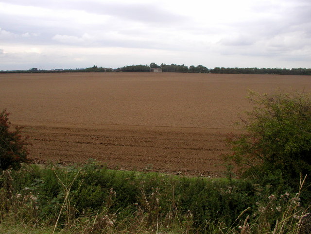
English: A farm at the side of the River Humber, south south west of Thorngumbald, East Riding of Yorkshire, England. This is the view looking NE from MR: TA19572301 towards a typical farm in this area. The land here is very flat and fertile and would probably get flooded on a regular basis if it wasn't for the 5m high embankment I was standing on. |
| Date | |
| Source | From geograph.org.uk |
| Author | Andy Beecroft |
| Permission (Reusing this file) |
Creative Commons Attribution Share-alike license 2.0 |
| Attribution (required by the license) | Andy Beecroft / A farm at the side of the River Humber / |
| Object location | | View this and other nearby images on: OpenStreetMap |
|---|
_&language=en)
Licensing[edit]

|
This image was taken from the Geograph project collection. See this photograph's page on the Geograph website for the photographer's contact details. The copyright on this image is owned by Andy Beecroft and is licensed for reuse under the Creative Commons Attribution-ShareAlike 2.0 license.
|
This file is licensed under the Creative Commons Attribution-Share Alike 2.0 Generic license.
Attribution: Andy Beecroft
- You are free:
- to share – to copy, distribute and transmit the work
- to remix – to adapt the work
- Under the following conditions:
- attribution – You must give appropriate credit, provide a link to the license, and indicate if changes were made. You may do so in any reasonable manner, but not in any way that suggests the licensor endorses you or your use.
- share alike – If you remix, transform, or build upon the material, you must distribute your contributions under the same or compatible license as the original.
File history
Click on a date/time to view the file as it appeared at that time.
| Date/Time | Thumbnail | Dimensions | User | Comment | |
|---|---|---|---|---|---|
| current | 12:43, 30 January 2010 | | 640 × 482 (84 KB) | GeographBot (talk | contribs) | == {{int:filedesc}} == {{Information |description={{en|1=A farm at the side of the River Humber. This is the view looking NE from MR: TA19572301 towards a typical farm in this area. The land here is very flat and fertile and would probably get flooded on |
You cannot overwrite this file.
File usage on Commons
There are no pages that use this file.