File:A chart of the sea-coasts of Ireland, from Dublin to London-Derry - btv1b530109735.jpg
Jump to navigation
Jump to search

Size of this preview: 738 × 599 pixels. Other resolutions: 296 × 240 pixels | 591 × 480 pixels | 946 × 768 pixels | 1,261 × 1,024 pixels | 2,522 × 2,048 pixels | 7,175 × 5,827 pixels.
Original file (7,175 × 5,827 pixels, file size: 6.42 MB, MIME type: image/jpeg)
Captions
Captions
Add a one-line explanation of what this file represents
Summary[edit]
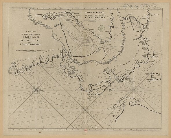
| A chart of the sea-coasts of Ireland, from Dublin to London-Derry
( |
|||||||||||||||||||||||||||
|---|---|---|---|---|---|---|---|---|---|---|---|---|---|---|---|---|---|---|---|---|---|---|---|---|---|---|---|
| Title |
A chart of the sea-coasts of Ireland, from Dublin to London-Derry |
||||||||||||||||||||||||||
| Description |
Français : Sujet : Irlande -- Nord-Est
Couverture : Irlande Langue : anglais |
||||||||||||||||||||||||||
| Date | 17th century - 18th century | ||||||||||||||||||||||||||
| Dimensions | height: 59 cm (23.2 in); width: 48 cm (18.8 in) | ||||||||||||||||||||||||||
| Collection |
|
||||||||||||||||||||||||||
| References |
Français : Notice de recueil : http://catalogue.bnf.fr/ark:/12148/cb42274818s
Appartient à : [Division 5 du portefeuille 29 du Service hydrographique de la marine consacrée à l'Irlande] ; 02 D Notice du catalogue : http://catalogue.bnf.fr/ark:/12148/cb42274864z |
||||||||||||||||||||||||||
| Source/Photographer |
Français : Bibliothèque nationale de France, département Cartes et plans, GESH18PF29DIV5P2D
Bibliothèque nationale de France |
||||||||||||||||||||||||||
| Permission (Reusing this file) |
|
||||||||||||||||||||||||||

File history
Click on a date/time to view the file as it appeared at that time.
| Date/Time | Thumbnail | Dimensions | User | Comment | |
|---|---|---|---|---|---|
| current | 05:42, 23 July 2022 | | 7,175 × 5,827 (6.42 MB) | Gzen92Bot (talk | contribs) | Gallica btv1b530109735 |
You cannot overwrite this file.
File usage on Commons
The following page uses this file: