File:4WalterFriedrich.JPG
Jump to navigation
Jump to search
Size of this preview: 750 × 600 pixels. Other resolutions: 300 × 240 pixels | 600 × 480 pixels | 960 × 768 pixels | 1,280 × 1,024 pixels | 1,600 × 1,280 pixels.
Original file (1,600 × 1,280 pixels, file size: 694 KB, MIME type: image/jpeg)
Captions
Captions
Add a one-line explanation of what this file represents
Summary
[edit]
| Description |
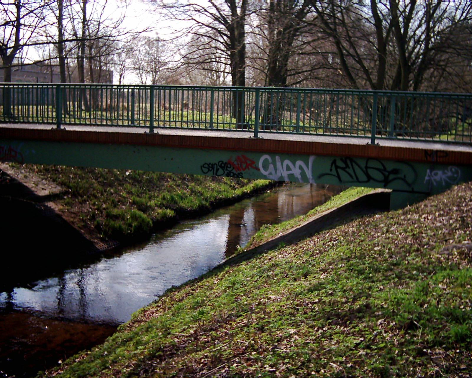
Deutsch: Die Panke verläuft durch stark besiedeltes Gebiet von Städten und Gemeinden. Deshalb sind die häufigen Brücken typisch. Diese Fußgängerbrücke vom linken Ufer in Richtung Walter-Friedrich-Straße in Berlin-Buch im südlichen Neubaugebiet. Sie verbindet die Einwohner mit dem S-Bahnhof Buch und führt den Pankewanderweg auf das linke Ufer, wo er in seiner Führung vor Autobahn- und Bahnunterquerung der Panke den direkten Kontakt mit ihr verliert. |
| Source | Own work |
| Author | Boonekamp |
| Camera location | | View this and other nearby images on: OpenStreetMap |
|---|
Licensing
[edit]
| I, the copyright holder of this work, release this work into the public domain. This applies worldwide. In some countries this may not be legally possible; if so: I grant anyone the right to use this work for any purpose, without any conditions, unless such conditions are required by law. |
File history
Click on a date/time to view the file as it appeared at that time.
| Date/Time | Thumbnail | Dimensions | User | Comment | |
|---|---|---|---|---|---|
| current | 19:40, 2 April 2010 | | 1,600 × 1,280 (694 KB) | Boonekamp (talk | contribs) | {{Information |Description={{de|1=Die Panke verläuft durch stark besiedeltes Gebiet von Städten und Gemeinden. Deshalb sind die häufigen Brücken typisch. Diese Fußgängerbrücke vom linken Ufer in Richtung Walter-Friedrich-Straße in Berlin-Buch im s |
You cannot overwrite this file.
File usage on Commons
The following page uses this file:
File usage on other wikis
The following other wikis use this file:
- Usage on de.wikipedia.org