File:3 Chome-1 Umeda, Kita-ku, Ōsaka-shi, Ōsaka-fu 530-0001, Japan - panoramio (1).jpg
Jump to navigation
Jump to search

Size of this preview: 800 × 600 pixels. Other resolutions: 320 × 240 pixels | 640 × 480 pixels | 1,024 × 768 pixels | 1,280 × 960 pixels | 2,560 × 1,920 pixels.
Original file (2,560 × 1,920 pixels, file size: 531 KB, MIME type: image/jpeg)
Captions
Captions
Add a one-line explanation of what this file represents
Summary[edit]
.jpg&action=edit§ion=1)
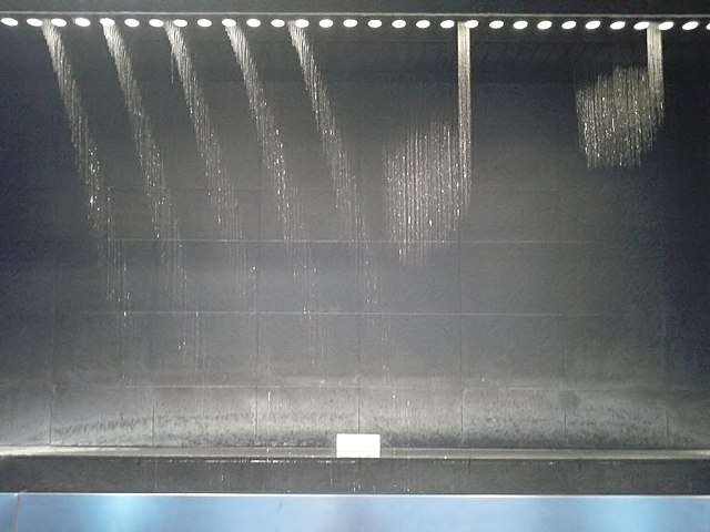
| Description | 3 Chome-1 Umeda, Kita-ku, Ōsaka-shi, Ōsaka-fu 530-0001, Japan | ||
| Date | Taken on 18 May 2014 | ||
| Source | https://web.archive.org/web/20161102000735/http://www.panoramio.com/photo/111850567 | ||
| Author | kajikawa | ||
| Permission (Reusing this file) |
This file is licensed under the Creative Commons Attribution 3.0 Unported license. Attribution: kajikawa
|
||
| Panoramio Tags | Kita-ku, 2014 |
| Camera location | | View this and other nearby images on: OpenStreetMap |
|---|
.jpg¶ms=034.701723_N_0135.496826_E_globe:Earth_type:camera_source:Panoramio_&language=en)
File history
Click on a date/time to view the file as it appeared at that time.
| Date/Time | Thumbnail | Dimensions | User | Comment | |
|---|---|---|---|---|---|
| current | 08:43, 7 May 2017 | | 2,560 × 1,920 (531 KB) | Panoramio upload bot (talk | contribs) | == {{int:filedesc}} == {{Information |description=3 Chome-1 Umeda, Kita-ku, Ōsaka-shi, Ōsaka-fu 530-0001, Japan |date={{Taken on|2014-05-18}} |source=http://www.panoramio.com/photo/111850567 |author=[http://www.panoramio.com/user/7158?with_photo_id=1... |
You cannot overwrite this file.
File usage on Commons
There are no pages that use this file.
.jpg&oldid=767891818)