File:23 Kilometres to St. Marys, Ontario, Kings Highway 7 (21216162324).jpg

Original file (4,000 × 1,690 pixels, file size: 3.78 MB, MIME type: image/jpeg)
Captions
Captions
Summary[edit]
.jpg&action=edit§ion=1)
| Description |
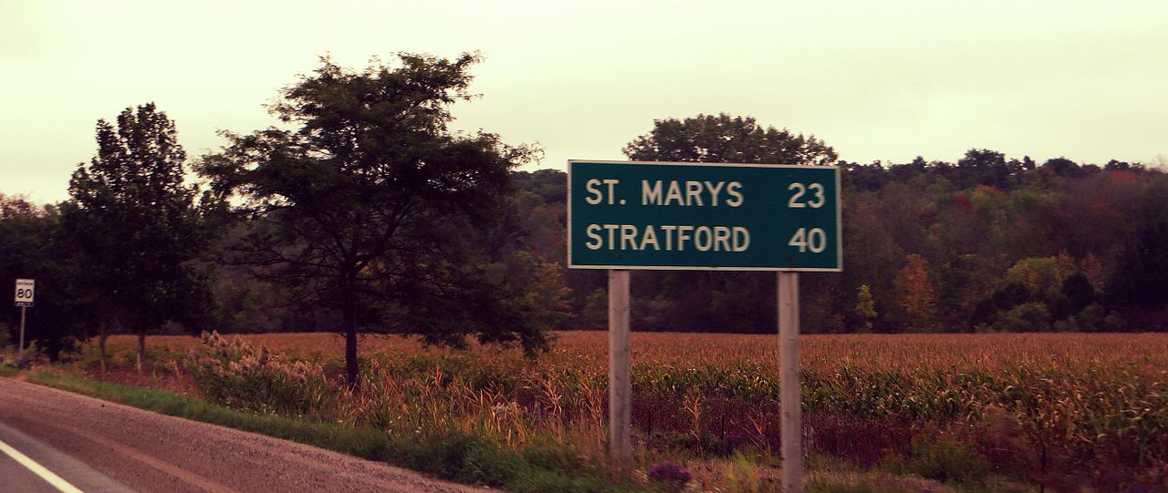
King's Highway 7, commonly referred to as Highway 7 and historically as the Northern Highway, is a provincially maintained highway in the Canadian province of Ontario. At its peak, Highway 7 measured 716 km (445 mi) in length, stretching from Highway 40 east of Sarnia in Southwestern Ontario to Highway 17 west of Ottawa in Eastern Ontario. However, due in part to the construction of Highways 402 and 407, the province transferred the sections of Highway 7 west of London and through the Greater Toronto Area to county and regional jurisdiction. The highway is now 535.7 km (332.9 mi) long; the western segment begins at Highway 4 north of London and extends 154.1 km (95.8 mi) to Georgetown, while the eastern segment begins at Donald Cousens Parkway in Markham and extends 381.6 km (237.1 mi) to Highway 417 in Kanata. Highway 7 was first designated in 1920 between Sarnia and Guelph and extended to Brampton the following year. Between 1927 and 1932, the highway more than doubled in length as it was gradually extended eastward to Perth, where Highway 15 continued to Ottawa. In the early 1960s, that section of Highway 15 was renumbered as Highway 7. In that same decade, the Conestoga Parkway and Peterborough Bypass were constructed. During the 1970s and 1980s, many sections of Highway 7 were widened from the initial two lane cross-section to four or six lanes. Within York Region, the route was upgraded to a limited-access expressway in preparation for the construction of Highway 407. en.wikipedia.org/wiki/Ontario_Highway_7 en.wikipedia.org/wiki/Wikipedia:Text_of_Creative_Commons_... |
| Date | |
| Source | 23 Kilometres to St. Marys, Ontario, Kings Highway 7 |
| Author | Ken Lund from Reno, Nevada, USA |
| Camera location | | View this and other nearby images on: OpenStreetMap |
|---|
.jpg¶ms=043.168330_N_-081.350262_E_globe:Earth_type:camera_source:Flickr_&language=en)
Licensing[edit]
.jpg&action=edit§ion=2)
- You are free:
- to share – to copy, distribute and transmit the work
- to remix – to adapt the work
- Under the following conditions:
- attribution – You must give appropriate credit, provide a link to the license, and indicate if changes were made. You may do so in any reasonable manner, but not in any way that suggests the licensor endorses you or your use.
- share alike – If you remix, transform, or build upon the material, you must distribute your contributions under the same or compatible license as the original.
| This image was originally posted to Flickr by Ken Lund at https://flickr.com/photos/75683070@N00/21216162324. It was reviewed on 19 December 2016 by FlickreviewR and was confirmed to be licensed under the terms of the cc-by-sa-2.0. |
File history
Click on a date/time to view the file as it appeared at that time.
| Date/Time | Thumbnail | Dimensions | User | Comment | |
|---|---|---|---|---|---|
| current | 15:09, 19 December 2016 | | 4,000 × 1,690 (3.78 MB) | Mindmatrix (talk | contribs) | Transferred from Flickr via Flickr2Commons |
You cannot overwrite this file.
File usage on Commons
There are no pages that use this file.
.jpg&oldid=766230789)