File:2016 Weininsel 01.jpg
Jump to navigation
Jump to search

Size of this preview: 800 × 308 pixels. Other resolutions: 320 × 123 pixels | 640 × 247 pixels | 1,024 × 395 pixels | 1,280 × 493 pixels | 2,560 × 987 pixels | 16,238 × 6,258 pixels.
Original file (16,238 × 6,258 pixels, file size: 18.01 MB, MIME type: image/jpeg)
Captions
Captions
Add a one-line explanation of what this file represents
Summary[edit]
| Warning | The original file is very high-resolution. It might not load properly or could cause your browser to freeze when opened at full size. |
|---|
| Description |
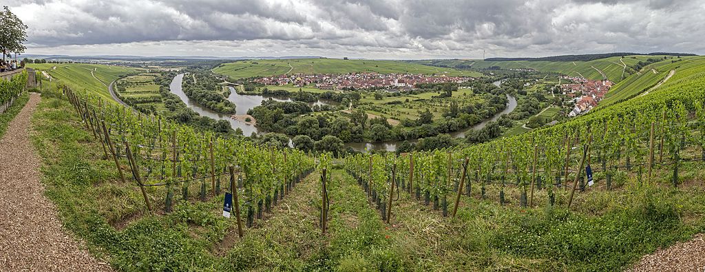
Deutsch: Weininsel, Nordheim, Mainschleife, Panorama, Sicht von der Vogelsburg |
| Source | Own work |
| Author | Derzno |
| Camera location | | View this and other nearby images on: OpenStreetMap |
|---|
Licensing[edit]
I, the copyright holder of this work, hereby publish it under the following license:
This file is licensed under the Creative Commons Attribution-Share Alike 3.0 Unported license.
- You are free:
- to share – to copy, distribute and transmit the work
- to remix – to adapt the work
- Under the following conditions:
- attribution – You must give appropriate credit, provide a link to the license, and indicate if changes were made. You may do so in any reasonable manner, but not in any way that suggests the licensor endorses you or your use.
- share alike – If you remix, transform, or build upon the material, you must distribute your contributions under the same or compatible license as the original.
File history
Click on a date/time to view the file as it appeared at that time.
| Date/Time | Thumbnail | Dimensions | User | Comment | |
|---|---|---|---|---|---|
| current | 15:52, 7 November 2016 | 16,238 × 6,258 (18.01 MB) | Derzno (talk | contribs) | {{Information |Description ={{de|1=Weininsel, Nordheim, Mainschleife, Panorama, Sicht von der Vogelsburg}} |Source ={{own}} |Author =Derzno |Date = |Permission = |other_versions = }} [[Category:Weininse... |
You cannot overwrite this file.
File usage on Commons
The following 2 pages use this file:
File usage on other wikis
The following other wikis use this file:
- Usage on de.wikipedia.org
- Usage on de.wikivoyage.org
- Usage on eo.wikipedia.org
- Usage on pl.wikivoyage.org
- Usage on www.wikidata.org