File:2014 Three Peaks view from Pen-y-ghent.jpg
Original file (4,608 × 3,456 pixels, file size: 8.11 MB, MIME type: image/jpeg)
Captions
Description2014 Three Peaks view from Pen-y-ghent.jpg |
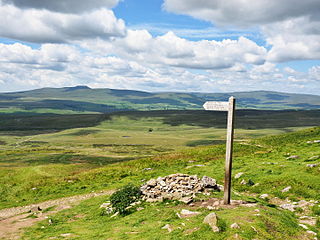
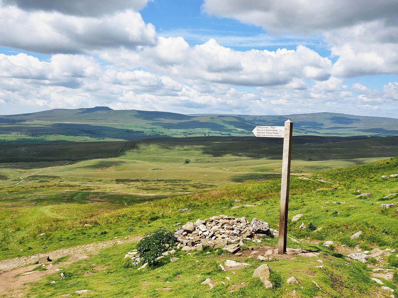
English: Looking from the western slope of Pen-y-ghent towards Ingleborough and Whernside
Deutsch: Blick von der Westseite des Pen-y-ghent nach Ingleborough und Whernside |
|||||||||
Date | ||||||||||
Source | Own work | |||||||||
Author | Kreuzschnabel | |||||||||
Permission (Reusing this file) |
I, the copyright holder of this work, hereby publish it under the following license: This file is licensed under the Creative Commons Attribution-Share Alike 3.0 Unported license.
|
Camera location | 54° 09′ 48.28″ N, 2° 15′ 01.19″ W | View this and other nearby images on: OpenStreetMap | 54.163410; -2.250330 |
---|
Annotations InfoField | This image is annotated: View the annotations at Commons |
Ingleborough
Whernside
Selside
Ribble Head Station and Viaduct
File history
Click on a date/time to view the file as it appeared at that time.
Date/Time | Thumbnail | Dimensions | User | Comment | |
---|---|---|---|---|---|
current | 08:57, 18 February 2016 | 4,608 × 3,456 (8.11 MB) | Kreuzschnabel (talk | contribs) | {{Information |Description ={{en|1=Looking from the western slope of Pen-y-ghent towards Ingleborough and Whernside}} {{de|1=Blick von der Westseite des Pen-y-ghent nach Ingleborough und Whernside}} |Source ={{own}} |Author =[[User:K... |
You cannot overwrite this file.
File usage on Commons
The following 3 pages use this file:
File usage on other wikis
The following other wikis use this file:
- Usage on de.wikipedia.org
- Usage on en.wikipedia.org
- Usage on www.wikidata.org
Metadata
This file contains additional information such as Exif metadata which may have been added by the digital camera, scanner, or software program used to create or digitize it. If the file has been modified from its original state, some details such as the timestamp may not fully reflect those of the original file. The timestamp is only as accurate as the clock in the camera, and it may be completely wrong.
Image title | OLYMPUS DIGITAL CAMERA |
---|---|
Camera manufacturer | OLYMPUS IMAGING CORP. |
Camera model | E-M1 |
Exposure time | 1/1,500 sec (0.00066666666666667) |
F-number | f/4.5 |
ISO speed rating | 200 |
Date and time of data generation | 12:01, 18 June 2014 |
Lens focal length | 16 mm |
Orientation | Normal |
Horizontal resolution | 350 dpi |
Vertical resolution | 350 dpi |
Software used | GIMP 2.8.10 |
File change date and time | 09:50, 18 February 2016 |
Y and C positioning | Co-sited |
Exposure Program | Aperture priority |
Exif version | 2.3 |
Date and time of digitizing | 12:01, 18 June 2014 |
Meaning of each component |
|
APEX exposure bias | 0 |
Maximum land aperture | 3 APEX (f/2.83) |
Metering mode | Pattern |
Light source | Unknown |
Flash | Flash did not fire, compulsory flash firing |
Supported Flashpix version | 1 |
Color space | sRGB |
File source | Digital still camera |
Custom image processing | Normal process |
Exposure mode | Auto exposure |
White balance | Auto white balance |
Digital zoom ratio | 1 |
Scene capture type | Standard |
Scene control | Low gain up |
Contrast | Normal |
Saturation | Normal |
Sharpness | Soft |
GPS tag version | 0.0.3.2 |
Image width | 4,608 px |
Image height | 3,456 px |
Structured data
Items portrayed in this file
depicts
some value
18 June 2014
54°9'48.28"N, 2°15'1.19"W
image/jpeg
ab792aa6f167f9dded72dd06e8d5217a3d28cb2e
8,507,150 byte
3,456 pixel
4,608 pixel
- CC-BY-SA-3.0
- Self-published work
- License migration redundant
- GFDL
- FAL
- Files with coordinates missing SDC location of creation
- Images by Kreuzschnabel/Landschaften
- Images by Kreuzschnabel/Nordengland/Yorkshire Dales
- PNG created with GIMP
- Taken with Olympus E-M1 and Olympus M.Zuiko Digital ED 12-40mm f/2.8 PRO
- Images with annotations
- Pages with maps