File:20110914 Archeological Site of Abdera Xanthi Thrace Greece Panorama 02.jpg
Jump to navigation
Jump to search

Size of this preview: 800 × 258 pixels. Other resolutions: 320 × 103 pixels | 640 × 206 pixels | 1,024 × 330 pixels | 1,280 × 412 pixels | 5,936 × 1,911 pixels.
Original file (5,936 × 1,911 pixels, file size: 10.45 MB, MIME type: image/jpeg)
Captions
Captions
Add a one-line explanation of what this file represents
Summary[edit]
| Description |
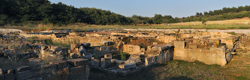
English: Archeological Site of Abdera Xanthi Thrace Greece
Ελληνικά: Αρχαιολογικός χώρος Αβδήρων, Νομός Ξάνθης, Θράκη, Ελλάδα. |
| Date | |
| Source | Own work |
| Author | User:Ggia |
| Permission (Reusing this file) |
Creative Commons License 3.0 Share-Alike |
| Camera location | | View this and other nearby images on: OpenStreetMap |
|---|
This image was created with Hugin.
Licensing[edit]
I, the copyright holder of this work, hereby publish it under the following license:
This file is licensed under the Creative Commons Attribution-Share Alike 3.0 Unported license.
- You are free:
- to share – to copy, distribute and transmit the work
- to remix – to adapt the work
- Under the following conditions:
- attribution – You must give appropriate credit, provide a link to the license, and indicate if changes were made. You may do so in any reasonable manner, but not in any way that suggests the licensor endorses you or your use.
- share alike – If you remix, transform, or build upon the material, you must distribute your contributions under the same or compatible license as the original.
File history
Click on a date/time to view the file as it appeared at that time.
| Date/Time | Thumbnail | Dimensions | User | Comment | |
|---|---|---|---|---|---|
| current | 09:59, 21 January 2013 | 5,936 × 1,911 (10.45 MB) | Slick-o-bot (talk | contribs) | Bot: convert to a non-interlaced jpeg image (see bugzilla:17645) | |
| 18:01, 15 September 2011 | 5,936 × 1,911 (9.37 MB) | Ggia (talk | contribs) |
You cannot overwrite this file.
File usage on Commons
The following page uses this file:
File usage on other wikis
The following other wikis use this file:
- Usage on el.wikipedia.org
- Usage on ro.wikipedia.org