File:20100927 Marmaritsa region landscape, Maronia, Rhodope, Thrace, Greece.jpg
Jump to navigation
Jump to search
Size of this preview: 800 × 361 pixels. Other resolutions: 320 × 144 pixels | 640 × 289 pixels | 1,024 × 462 pixels | 1,280 × 578 pixels | 4,469 × 2,018 pixels.
Original file (4,469 × 2,018 pixels, file size: 6.38 MB, MIME type: image/jpeg)
Captions
Captions
Add a one-line explanation of what this file represents
Summary[edit]
| Description |
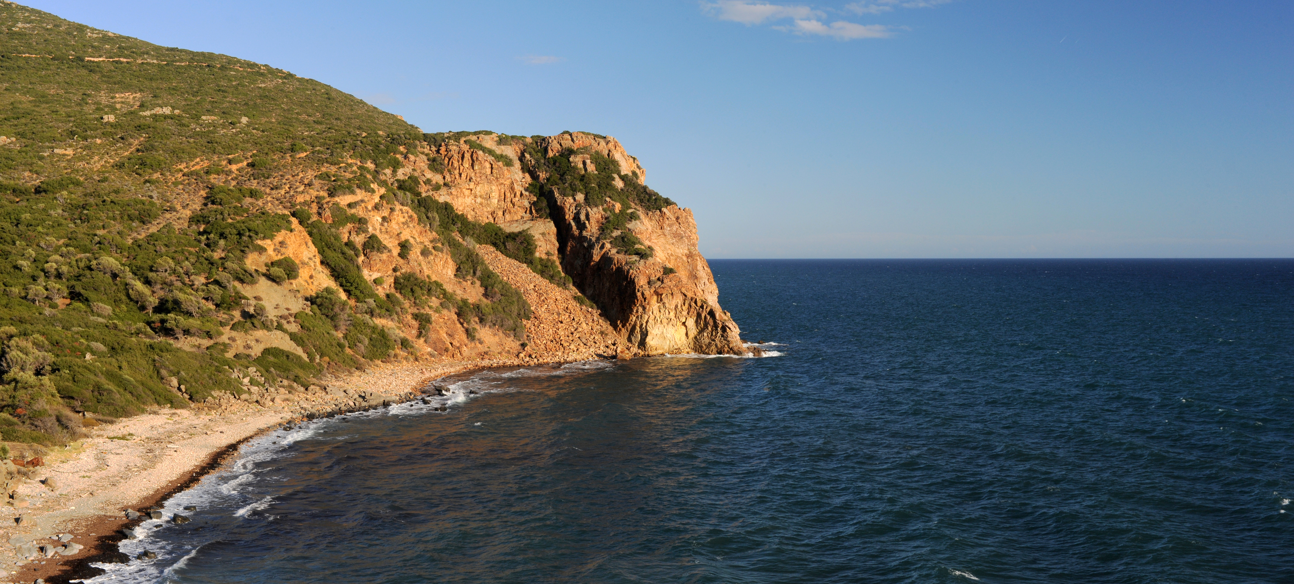
English: Sea landscape east of Marmaritsa beach, Maronia, Rhodope, Thrace, Greece.
Ελληνικά: Τοπίο θαλασσινό ανατολικά της παραλίας Μαρμαρίτσας, Μαρώνεια, Ροδόπη, Θράκη, Ελλάδα. |
| Date | |
| Source | Own work |
| Author | User:Ggia |
| Permission (Reusing this file) |
Creative Commons License 3.0 Share Alike |
This image was created with Hugin.
| Camera location | | View this and other nearby images on: OpenStreetMap |
|---|
Licensing[edit]
I, the copyright holder of this work, hereby publish it under the following license:
This file is licensed under the Creative Commons Attribution-Share Alike 3.0 Unported license.
- You are free:
- to share – to copy, distribute and transmit the work
- to remix – to adapt the work
- Under the following conditions:
- attribution – You must give appropriate credit, provide a link to the license, and indicate if changes were made. You may do so in any reasonable manner, but not in any way that suggests the licensor endorses you or your use.
- share alike – If you remix, transform, or build upon the material, you must distribute your contributions under the same or compatible license as the original.
File history
Click on a date/time to view the file as it appeared at that time.
| Date/Time | Thumbnail | Dimensions | User | Comment | |
|---|---|---|---|---|---|
| current | 20:18, 30 September 2010 | | 4,469 × 2,018 (6.38 MB) | Ggia (talk | contribs) | more bright colors |
| 19:46, 30 September 2010 |  | 4,469 × 2,018 (6.24 MB) | Ggia (talk | contribs) |
You cannot overwrite this file.
File usage on Commons
The following page uses this file: