File:1874 Mitchell Map of the Maritime Provinces of Canada.jpg
Jump to navigation
Jump to search

Size of this preview: 472 × 600 pixels. Other resolutions: 189 × 240 pixels | 378 × 480 pixels | 604 × 768 pixels | 806 × 1,024 pixels | 2,327 × 2,957 pixels.
Original file (2,327 × 2,957 pixels, file size: 2.1 MB, MIME type: image/jpeg)
Captions
Captions
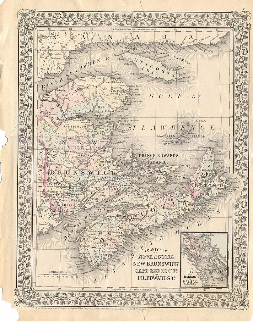
1874 Mitchell Map of the Maritime Provinces of Canada.
Summary
[edit]
| Description |
English: This hand colored map is a lithographic engraving, dating to 1879 by the American Mapmaker S.A. Mitchell, the younger. It represents the Maritime Provinces of Canada, Nova Scotia, New Brunswick, Cape Breton Island and Prince Edward's Island.. There are inset map is the City and Harbor of Halifax. |
| Date | |
| Source | Entered according to an Act of Congress in the year 1879 by S. Augustus Mitchell in the Office of the Librarian of Congress at Washington. |
| Author | S. Augustus Mitchell |
Licensing
[edit]
|
This work is in the public domain in its country of origin and other countries and areas where the copyright term is the author's life plus 70 years or fewer. This work is in the public domain in the United States because it was published (or registered with the U.S. Copyright Office) before January 1, 1929. | |
| This file has been identified as being free of known restrictions under copyright law, including all related and neighboring rights. | |
File history
Click on a date/time to view the file as it appeared at that time.
| Date/Time | Thumbnail | Dimensions | User | Comment | |
|---|---|---|---|---|---|
| current | 23:32, 4 May 2020 | | 2,327 × 2,957 (2.1 MB) | Chris Light (talk | contribs) | Uploaded a work by S. Augustus Mitchell from Entered according to an Act of Congress in the year 1879 by S. Augustus Mitchell in the Office of the Librarian of Congress at Washington. with UploadWizard |
You cannot overwrite this file.
File usage on Commons
There are no pages that use this file.