File:1799 Clement Cruttwell Map of West Indies - Geographicus - WestIndies-cruttwell-1799.jpg
Jump to navigation
Jump to search

Size of this preview: 800 × 595 pixels. Other resolutions: 320 × 238 pixels | 640 × 476 pixels | 1,024 × 762 pixels | 1,280 × 952 pixels | 2,560 × 1,905 pixels | 3,500 × 2,604 pixels.
Original file (3,500 × 2,604 pixels, file size: 2.29 MB, MIME type: image/jpeg)
Captions
Captions
Add a one-line explanation of what this file represents
| The West Indies. | ||||||
|---|---|---|---|---|---|---|
| Artist | ||||||
| Title |
The West Indies. |
|||||
| Description |
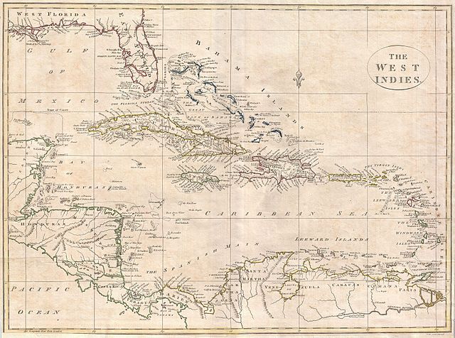
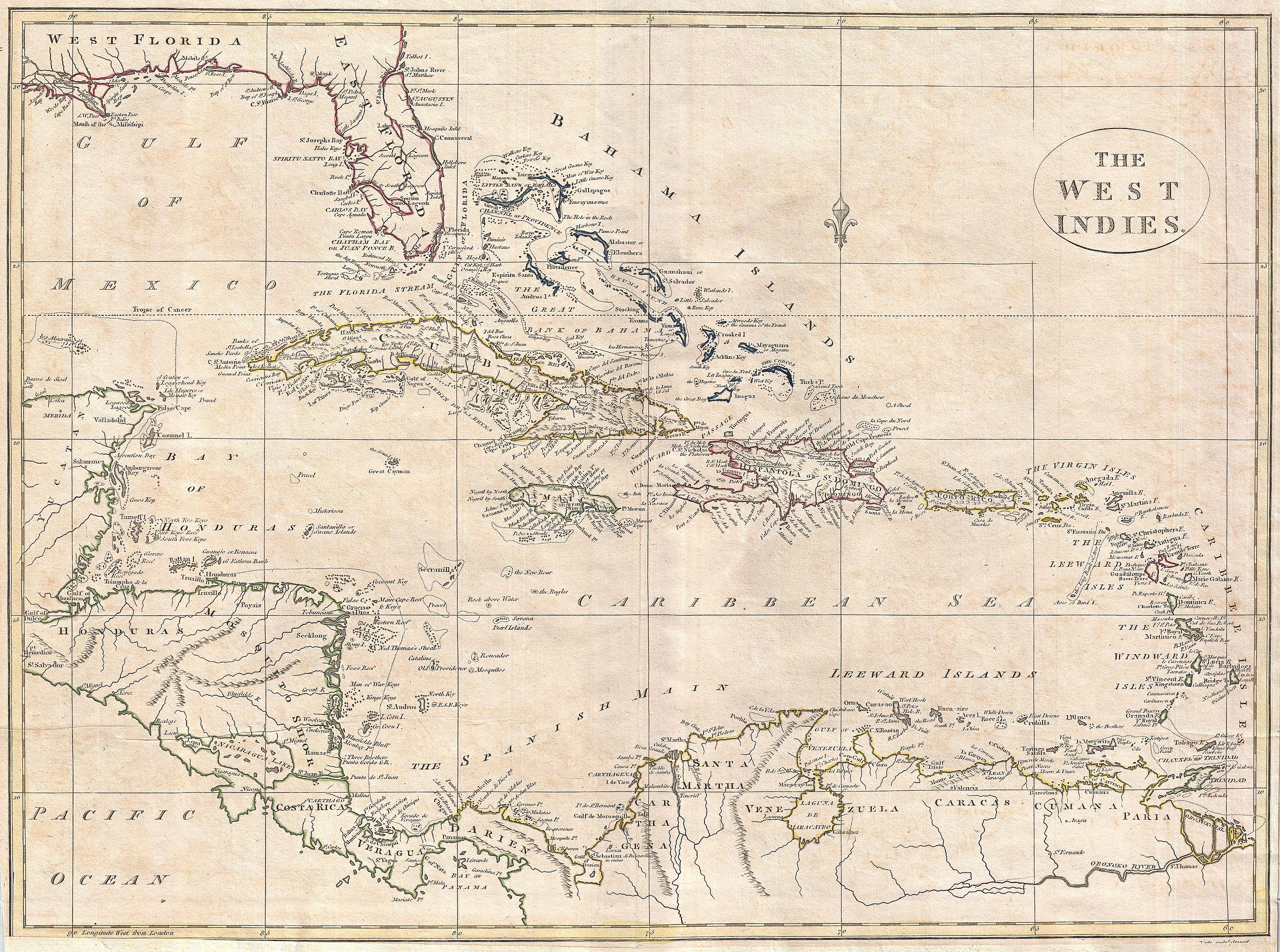
English: A fine 1799 map of the West Indies by the English mapmaker Clement Cruttwell. Shows what was then known as West and East Florida, along with the Bahamas Islands, Cuba, Jamaica, Domingo, and Puerto Rico (Porto Rico). Further southeast are the Virgin Islands, the Leeward and Windward Islands. The map also includes parts of Mexico, Honduras, Costa Rica, and the northern portion of South America. Cruttwell pays special attention to reefs, shoals, banks, and other underwater dangers, labeling many by name. He also makes note of the Spanish Main, the common term for A fine 1799 map of the West Indies by the English mapmaker Clement Cruttwell. Shows what was then known as West and East Florida (present day Florida, Alabama, and Louisiana), along with the Bahamas Islands, Cuba, Jamaica, Domingo, and Puerto Rico (Porto Rico). Further southeast are the Virgin Islands, the Leeward and Windward Islands. The map also includes parts of Mexico, Honduras, Costa Rica, and the northern portion of South America. Cruttwell pays special attention to reefs, shoals, banks, and other underwater dangers on this map, labeling many by name. Though generally quite accurate, there are a number of interesting errors. Charlotte Bay, Florida, he expands into a great inland Lagoon called Spiritu Santo. Lake Nicaragua is overly large and suggestive of a practicality of building a canal to the Pacific. He also makes note of the Spanish Main, mainland coast of the Spanish Empire around the Caribbean Sea and the Gulf of Mexico. The Spanish Main was the point of departure for enormous wealth that was shipped back to Spain in the form of gold, silver, gems, spices, hardwoods, hides and other riches; because of this, the area was ripe territory for pirates and privateers. Outline color and fine copper plate engraving in the minimalist English style prevalent in the late 18th and early 19th centuries. Mountains and topographical other detail shown by profile. Also makes note of rivers and shoals. Drawn by Clement Cruttwell and published in the 1799 Atlas to Cruttwell's Gazetteer. the mainland coast of the Spanish Empire around the Caribbean Sea and the Gulf of Mexico. The Spanish Main was the point of departure for enormous wealth that was shipped back to Spain in the form of gold, silver, gems, spices, hardwoods, hides and other riches; because of this, the area was ripe territory for pirates and privateers. Outline color and fine copper plate engraving in the minimalist English style prevalent in the late 18th and early 19th centuries. Mountains and topographical other detail shown by profile. Also makes note of rivers and shoals. Drawn by Clement Cruttwell and published in the 1799 Atlas to Cruttwell's Gazetteer. |
|||||
| Date | 1799 (dated) | |||||
| Dimensions | height: 14 in (35.5 cm); width: 19 in (48.2 cm) | |||||
| Accession number |
Geographicus link: WestIndies-cruttwell-1799 |
|||||
| Source/Photographer |
Cruttwell, C., Atlas to Cruttwell's Gazetteer, 1799.
|
|||||
| Permission (Reusing this file) |
|
|||||
File history
Click on a date/time to view the file as it appeared at that time.
| Date/Time | Thumbnail | Dimensions | User | Comment | |
|---|---|---|---|---|---|
| current | 16:40, 24 March 2011 | | 3,500 × 2,604 (2.29 MB) | BotMultichillT (talk | contribs) | {{subst:User:Multichill/Geographicus |link=http://www.geographicus.com/P/AntiqueMap/WestIndies-cruttwell-1799 |product_name=1799 Clement Cruttwell Map of West Indies |map_title=The West Indies. |description=A fine 1799 map of the West Indies by the Englis |
You cannot overwrite this file.
File usage on Commons
The following page uses this file: