File:151 123-7 & 151 024-7 (Flickr 17576862383).jpg
Jump to navigation
Jump to search

Size of this preview: 800 × 533 pixels. Other resolutions: 320 × 213 pixels | 640 × 427 pixels | 1,024 × 683 pixels | 1,280 × 853 pixels | 2,560 × 1,707 pixels | 5,359 × 3,573 pixels.
Original file (5,359 × 3,573 pixels, file size: 7.27 MB, MIME type: image/jpeg)
Captions
Captions
Add a one-line explanation of what this file represents
Summary[edit]
.jpg&action=edit§ion=1)
| Description |
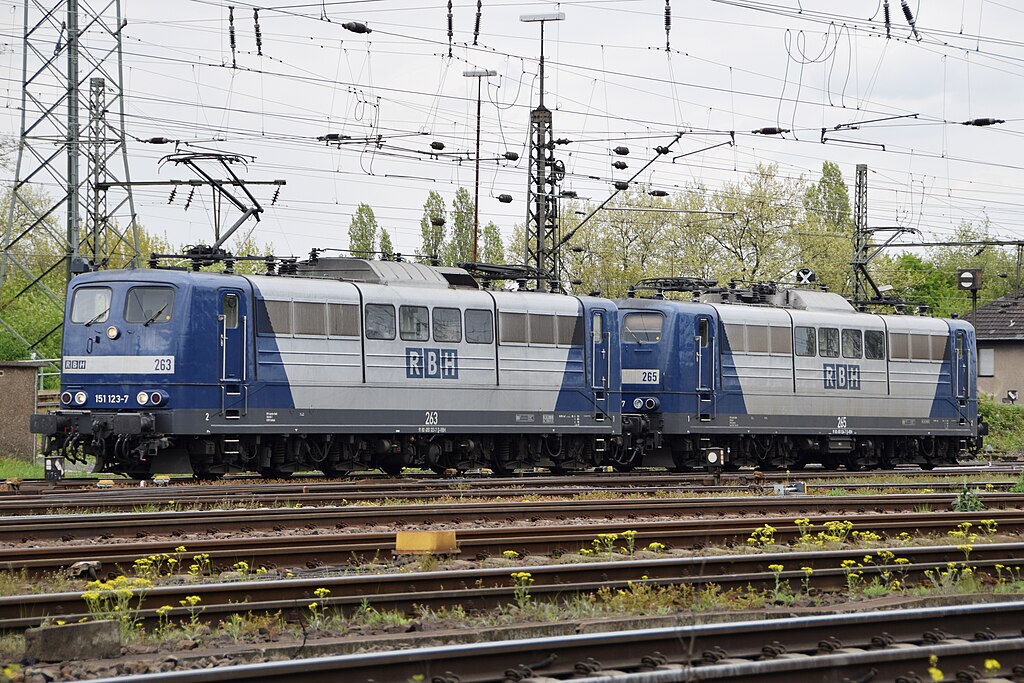
Deutsch: 151 123-7 & 151 024-7 (RBH 263 + 265) Oberhausen West |
| Date | |
| Source | 151 123-7 151 024-7 RBH 263 + 265 Oberhausen 29.04.15 |
| Author | Paul Smith from UK |
| Camera location | | View this and other nearby images on: OpenStreetMap |
|---|
.jpg¶ms=051.476222_N_0006.832452_E_globe:Earth_type:camera_source:Flickr_&language=en)
Licensing[edit]
.jpg&action=edit§ion=2)
This file is licensed under the Creative Commons Attribution 2.0 Generic license.
- You are free:
- to share – to copy, distribute and transmit the work
- to remix – to adapt the work
- Under the following conditions:
- attribution – You must give appropriate credit, provide a link to the license, and indicate if changes were made. You may do so in any reasonable manner, but not in any way that suggests the licensor endorses you or your use.
| This image was originally posted to Flickr by Paul Smith (Widnes Road) at https://flickr.com/photos/60630354@N02/17576862383. It was reviewed on 31 August 2015 by FlickreviewR and was confirmed to be licensed under the terms of the cc-by-2.0. |
File history
Click on a date/time to view the file as it appeared at that time.
| Date/Time | Thumbnail | Dimensions | User | Comment | |
|---|---|---|---|---|---|
| current | 03:04, 31 August 2015 | | 5,359 × 3,573 (7.27 MB) | Rolf H. (talk | contribs) | {{Information |Description={{de|151 123-7 & 151 024-7 (RBH 263 + 265) Oberhausen}} |Source=[https://www.flickr.com/photos/widnes_road/17576862383/ 151 123-7 151 024-7 RBH 263 + 265 Oberhausen 29.04.15] |Date=2015-04-29 14:57 |Author=[https://www.flickr... |
You cannot overwrite this file.
File usage on Commons
The following 3 pages use this file:
.jpg&redirect=no)
.jpg&oldid=751021526)