File:151 029-6 Köln-Kalk Nord 2016-04-01-02.JPG
From Wikimedia Commons, the free media repository
Jump to navigation
Jump to search
Size of this preview: 800 × 566 pixels. Other resolutions: 320 × 226 pixels | 640 × 453 pixels | 1,024 × 725 pixels | 1,280 × 906 pixels | 2,560 × 1,812 pixels | 5,236 × 3,706 pixels.
Original file (5,236 × 3,706 pixels, file size: 14.05 MB, MIME type: image/jpeg)
File information
Structured data
Captions
Description151 029-6 Köln-Kalk Nord 2016-04-01-02.JPG |
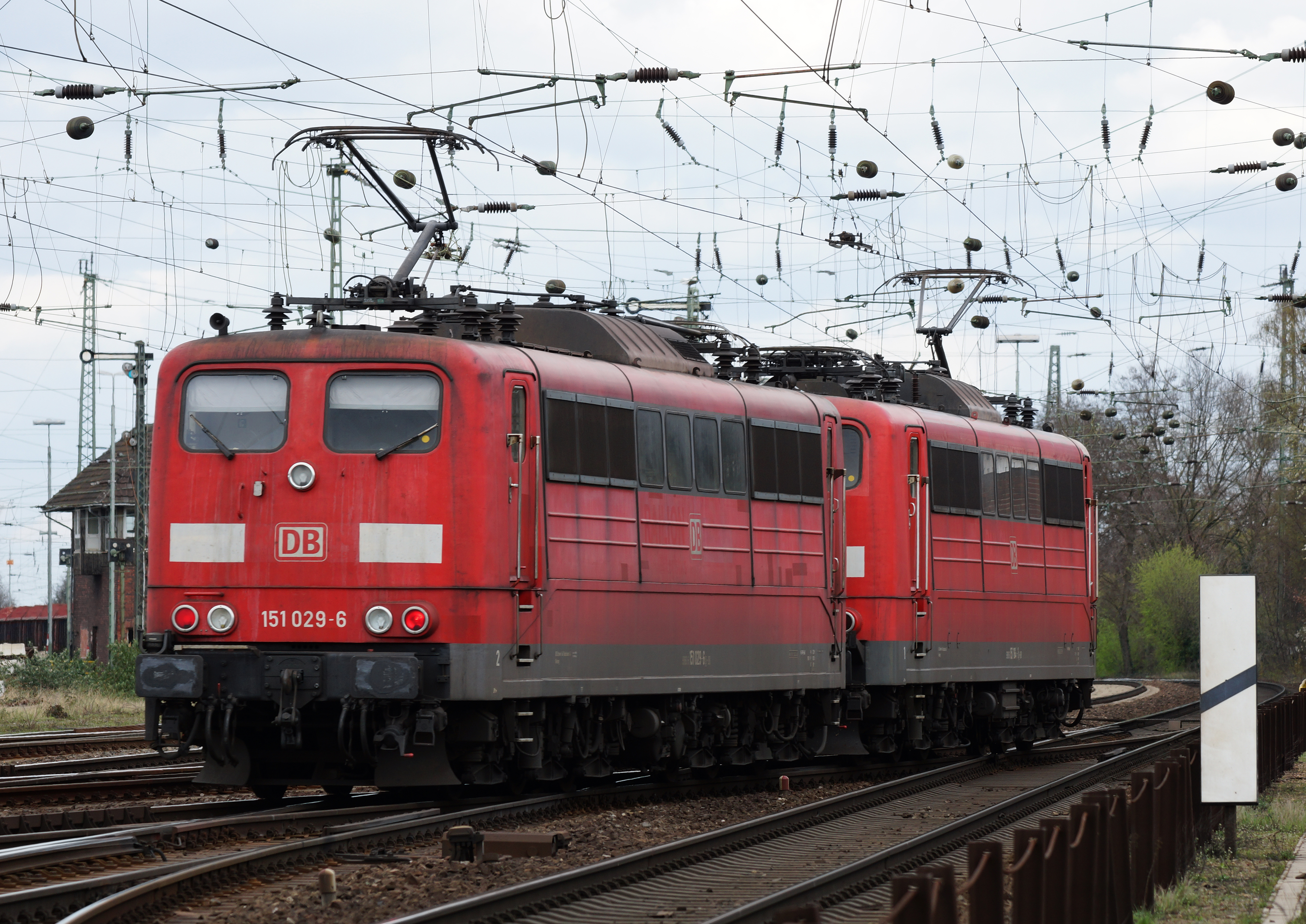
Deutsch: DBAG 151 029-6 in der Nähe des Rangierbahnhofs Köln-Kalk Nord. English: DBAG 151 029-6 in the near of the marshalling yard Köln-Kalk Nord |
||
Date | |||
Source | Own work | ||
Author | Rolf Heinrich, Köln | ||
Permission (Reusing this file) |
Rolf Heinrich, Köln, the copyright holder of this work, hereby publishes it under the following licenses:
This file is licensed under the Creative Commons Attribution 3.0 Unported license. Attribution: Rolf Heinrich, Köln
You may select the license of your choice. |
Camera location | 50° 55′ 47.06″ N, 7° 00′ 57.53″ E | View this and other nearby images on: OpenStreetMap | 50.929740; 7.015981 |
---|
File history
Click on a date/time to view the file as it appeared at that time.
Date/Time | Thumbnail | Dimensions | User | Comment | |
---|---|---|---|---|---|
current | 02:09, 8 April 2016 | 5,236 × 3,706 (14.05 MB) | Rolf H. (talk | contribs) | {{Information |Description ={{de|1=DBAG 151 029-6 in der Nähe des Rangierbahnhofs Köln-Kalk Nord.}} {{en|DBAG 151 029-6 in the near of the marshalling yard Köln-Kalk Nord}} |Source ={{own}} |Author =[[User:Rolf H.|Rolf Heinrich, K... |
You cannot overwrite this file.
File usage on Commons
The following page uses this file:
Metadata
This file contains additional information such as Exif metadata which may have been added by the digital camera, scanner, or software program used to create or digitize it. If the file has been modified from its original state, some details such as the timestamp may not fully reflect those of the original file. The timestamp is only as accurate as the clock in the camera, and it may be completely wrong.
Camera manufacturer | SONY |
---|---|
Camera model | SLT-A65V |
Exposure time | 1/250 sec (0.004) |
F-number | f/5.6 |
ISO speed rating | 100 |
Date and time of data generation | 15:55, 1 April 2016 |
Lens focal length | 135 mm |
Latitude | 50° 55′ 47.06″ N |
Longitude | 7° 0′ 57.53″ E |
Altitude | 45.978 meters above sea level |
Image title | |
Width | 5,236 px |
Height | 3,706 px |
Bits per component |
|
Pixel composition | RGB |
Orientation | Normal |
Number of components | 3 |
Horizontal resolution | 350 dpi |
Vertical resolution | 350 dpi |
Software used | Adobe Photoshop CC 2015 (Windows) |
File change date and time | 07:15, 7 April 2016 |
Y and C positioning | Co-sited |
Exposure Program | Normal program |
Exif version | 2.3 |
Date and time of digitizing | 15:55, 1 April 2016 |
Meaning of each component |
|
Image compression mode | 2 |
APEX shutter speed | 7.965784 |
APEX aperture | 4.970854 |
APEX brightness | 8.54453125 |
APEX exposure bias | 0 |
Maximum land aperture | 4.3359375 APEX (f/4.49) |
Metering mode | Pattern |
Light source | Unknown |
Flash | Flash did not fire, compulsory flash suppression |
Supported Flashpix version | 1 |
Color space | sRGB |
File source | Digital still camera |
Scene type | A directly photographed image |
Custom image processing | Normal process |
Exposure mode | Auto exposure |
White balance | Auto white balance |
Focal length in 35 mm film | 202 mm |
Scene capture type | Standard |
Contrast | Normal |
Saturation | Normal |
Sharpness | Normal |
GPS time (atomic clock) | 10:56 |
Receiver status | Measurement in progress |
Measurement mode | 3-dimensional measurement |
Measurement precision | Poor (1.6363) |
Speed unit | Kilometers per hour |
Speed of GPS receiver | 1.705 |
Reference for direction of movement | True direction |
Direction of movement | 351.67 |
Geodetic survey data used | WGS-84 |
GPS date | 6 April 2016 |
GPS differential correction | 0 |
GPS tag version | 2.3.0.0 |
Lens used | 70-300mm F4-5.6 SSM |
Date metadata was last modified | 09:15, 7 April 2016 |
Unique ID of original document | F2CDD1BE0788AC04ED740AB1E130B437 |
IIM version | 60,544 |
Structured data
Items portrayed in this file
depicts
some value
1 April 2016
50°55'47.064"N, 7°0'57.532"E
0.004 second
5.6
135 millimetre
100
image/jpeg
9998982a475bf0c7c0d0487a58e6dc5a02fc9fbf
14,736,436 byte
3,706 pixel
5,236 pixel
Hidden categories:
- License migration redundant
- GFDL
- CC-BY-3.0
- Self-published work
- Files with coordinates missing SDC location of creation (50° N, 7° E)
- Taken with Sony SLT-A65V
- Taken with Tamron SP 70-300 mm F4-5.6 Di VC USD
- Photographs by Rolf H. taken in 2016
- Railway photographs taken on 2016-04-01
- Germany photographs taken on 2016-04-01
- Pages with maps