File:131.72942E 42.96528N Isle of Popov.png
Jump to navigation
Jump to search

Size of this preview: 557 × 600 pixels. Other resolutions: 223 × 240 pixels | 446 × 480 pixels | 799 × 860 pixels.
Original file (799 × 860 pixels, file size: 669 KB, MIME type: image/png)
Captions
Captions
Add a one-line explanation of what this file represents
| Description |
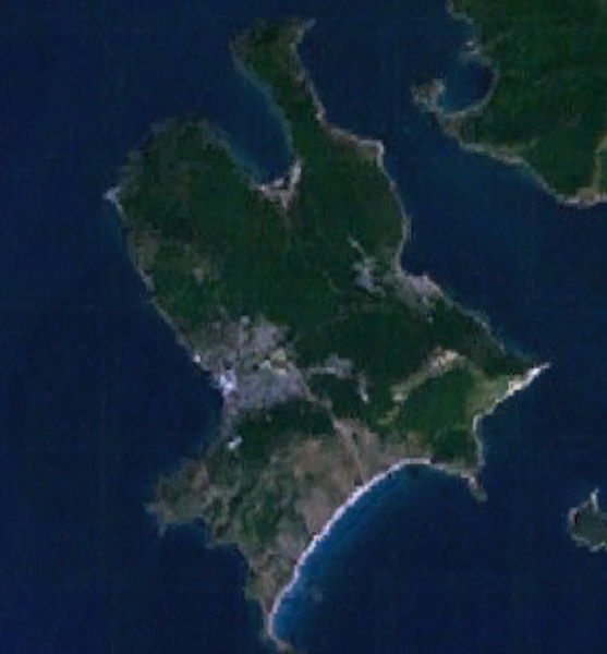
English: Isle of Popov, Primorsky Krai |
| Date | |
| Source | World Wind 1.4 |
| Author | World Wind |
| This image is in the public domain because it is a screenshot from NASA’s globe software World Wind using a public domain layer, such as Blue Marble, MODIS, Landsat, SRTM, USGS or GLOBE.
|
 |
File history
Click on a date/time to view the file as it appeared at that time.
| Date/Time | Thumbnail | Dimensions | User | Comment | |
|---|---|---|---|---|---|
| current | 00:18, 30 July 2009 | | 799 × 860 (669 KB) | Pauk (talk | contribs) | {{Information |Description={{en|1=Isle of Popov, Primorsky Krai}} |Source=World Wind 1.4 |Author=World Wind |Date=July 30, 2009 |Permission= |other_versions= }} {{PD-WorldWind}} Category:Popova Island |
You cannot overwrite this file.
File usage on Commons
There are no pages that use this file.
File usage on other wikis
The following other wikis use this file:
- Usage on de.wikipedia.org
- Usage on en.wikipedia.org
- Usage on it.wikipedia.org
- Usage on pl.wikipedia.org
- Usage on zh.wikipedia.org