File:121.55000E 29.86667N Ningbo.png
Jump to navigation
Jump to search

Size of this preview: 790 × 599 pixels. Other resolutions: 317 × 240 pixels | 633 × 480 pixels | 812 × 616 pixels.
Original file (812 × 616 pixels, file size: 355 KB, MIME type: image/png)
Captions
Captions
Add a one-line explanation of what this file represents
| Description |
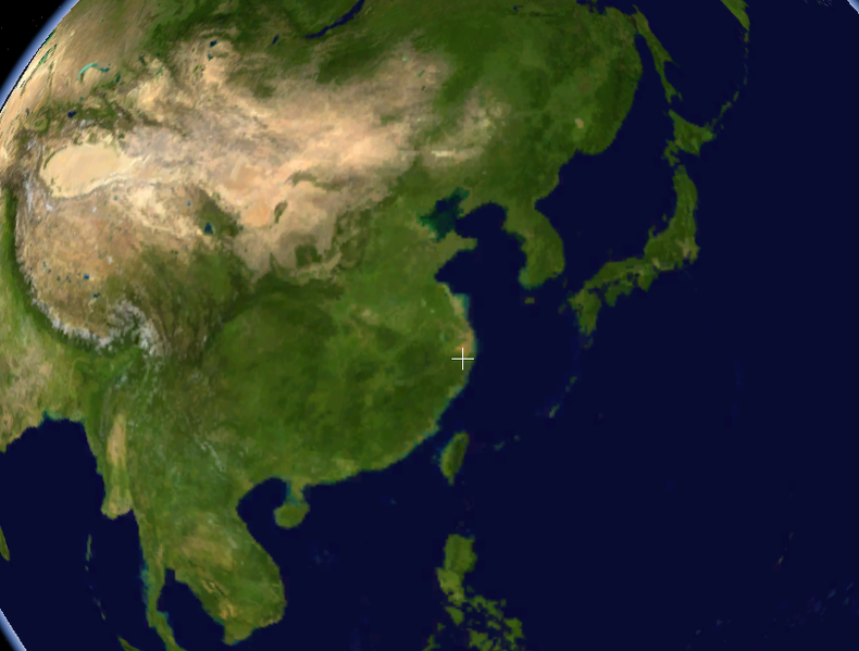
English: Screenshot taken using the Blue Marble dataset in NASA WorldWind showing the location of the Port of Ningbo, China (where the cross is). Cropped a bit around the edges, removed the NASA logo at the lower right of the image. |
|||
| Date | Unknown date | |||
| Source | Created with NASA WorldWind by User:Oaktree_b using Blue Marble layer | |||
| Author | NASA | |||
| Permission (Reusing this file) |
|

File history
Click on a date/time to view the file as it appeared at that time.
| Date/Time | Thumbnail | Dimensions | User | Comment | |
|---|---|---|---|---|---|
| current | 02:33, 25 July 2011 | | 812 × 616 (355 KB) | Oaktree b (talk | contribs) | {{Information |Description ={{en|1=Screenshot taken using the Blue Marble dataset in NASA WorldWind showing the location of the Port of Ningbo, China (where the cross is). Cropped a bit around the edges, removed the NASA logo at the lower right of the |
You cannot overwrite this file.
File usage on Commons
There are no pages that use this file.
File usage on other wikis
The following other wikis use this file:
- Usage on bn.wikipedia.org