File:110th US Congress House districts color.svg
Jump to navigation
Jump to search

Size of this PNG preview of this SVG file: 800 × 482 pixels. Other resolutions: 320 × 193 pixels | 640 × 386 pixels | 1,024 × 617 pixels | 1,280 × 772 pixels | 2,560 × 1,543 pixels | 2,583 × 1,557 pixels.
Original file (SVG file, nominally 2,583 × 1,557 pixels, file size: 1.24 MB)
Captions
Captions
Add a one-line explanation of what this file represents
Summary[edit]
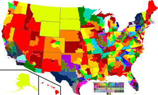
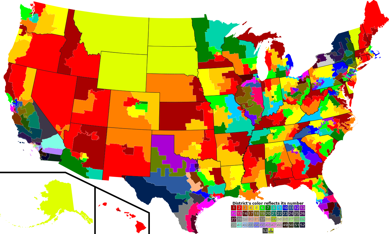
| Description | A map of all of the U.S. congressional districts (as of the 110th Congress). To find the district's number, look at the district, compare with the color code at the bottom to get number. |
| Date | |
| Source | Based off of: [1] for most boundaries, [2] for Georgia, and [3] for Texas. |
| Author | Mr. Matté (if there is an issue with this image, contact me using this image's Commons talk page, my Commons user talk page, or my English Wikipedia user talk page; I'll know about it a lot faster) |
| Other versions |
Derivative works of this file: 113th US Congress House districts color.svg Image:US Congressional districts metro areas.svg (Same as this, but includes large views for urban areas) |
| SVG development |
![[1]](https://upload.wikimedia.org/wikipedia/commons/archive/2/22/20061111221306%21US_House_Winning_Margins.png)
Legend of map colors:[edit]
1st District
|
2nd District
|
3rd District
|
4th District
|
5th District
|
6th District
|
7th District
|
8th District
|
9th District
|
10th District
|
11th District
|
12th District
|
13th District
|
14th District
|
15th District
|
16th District
|
17th District
|
18th District
|
19th District
|
20th District
|
21st District
|
22nd District
|
23rd District
|
24th District
|
25th District
|
26th District
|
27th District
|
28th District
|
29th District
|
30th District
|
31st District
|
32nd District
|
33rd District
|
34th District
|
35th District
|
36th District
|
37th District
|
38th District
|
39th District
|
40th District
|
41st District
|
42nd District
|
43rd District
|
44th District
|
45th District
|
46th District
|
47th District
|
48th District
|
49th District
|
50th District
|
51st District
|
52nd District
|
53rd District
|
At-large District
|
Licensing[edit]
| I, the copyright holder of this work, release this work into the public domain. This applies worldwide. In some countries this may not be legally possible; if so: I grant anyone the right to use this work for any purpose, without any conditions, unless such conditions are required by law. |
File history
Click on a date/time to view the file as it appeared at that time.
| Date/Time | Thumbnail | Dimensions | User | Comment | |
|---|---|---|---|---|---|
| current | 22:28, 14 September 2009 | | 2,583 × 1,557 (1.24 MB) | Mr. Matté (talk | contribs) | Fix western CA districts |
| 15:45, 17 July 2009 |  | 2,583 × 1,557 (1.22 MB) | Mr. Matté (talk | contribs) | Fix NY 26/27, make one path --> text | |
| 02:52, 21 August 2008 |  | 2,583 × 1,557 (1.25 MB) | Mr. Matté (talk | contribs) | Fix Hawaii | |
| 02:38, 16 April 2008 |  | 2,583 × 1,557 (1.3 MB) | Mr. Matté (talk | contribs) | Higher-quality, smaller version of the colored congressional map by district number | |
| 23:06, 6 February 2008 |  | 9,111 × 5,493 (1.87 MB) | Mr. Matté (talk | contribs) | {{Information |Description=A map of all of the U.S. congressional districts (as of the 110th Congress). To find the district's number, look at the district, compar |
You cannot overwrite this file.
File usage on Commons
The following 3 pages use this file:
File usage on other wikis
The following other wikis use this file:
- Usage on ca.wikipedia.org
- Usage on es.wikipedia.org