File:0 Bouillon - La Tour d'Autriche et la Tour de l'Horloge.JPG
Jump to navigation
Jump to search

Size of this preview: 800 × 532 pixels. Other resolutions: 320 × 213 pixels | 640 × 426 pixels | 1,024 × 681 pixels | 1,280 × 852 pixels | 1,936 × 1,288 pixels.
Original file (1,936 × 1,288 pixels, file size: 1.5 MB, MIME type: image/jpeg)
Captions
Captions
Add a one-line explanation of what this file represents
Summary[edit]
| Description |
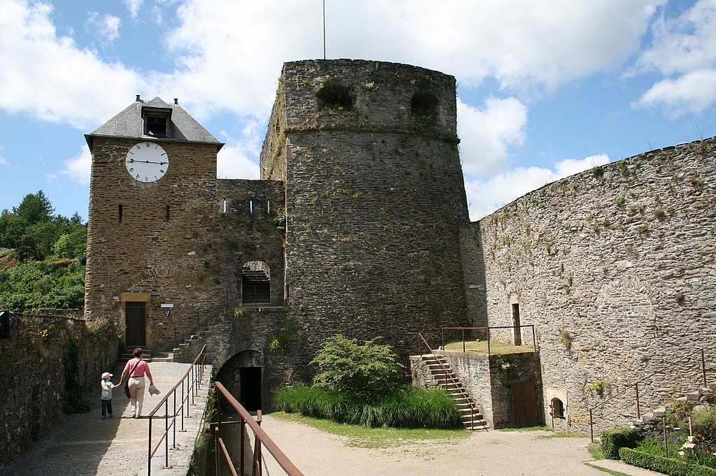
English: Bouillon (Belgium), the "Tour d'Autriche" (1551) and the "Tour de l'Horloge" of the fortified castle (Xth–XVIth centuries).
Français : Bouillon (Belgique), la "Tour d'Autriche" (1551) et la "Tour de l'Horloge" du le château-fort (Xe–XVIe siècles).
Nederlands: Bouillon (België), de "Tour d'Autriche" en de "Tour de l'Horloge" van het kasteel (X-XVIde eeuwen).
Deutsch: Bouillon (Belgien): "Tour d'Autriche" (1551) und "Tour de l'Horloge" von der Burg (10.-16. Jahrhundert). |
| Date | 17 September 2011 (upload date) |
| Source | Own work |
| Author | Jean-Pol GRANDMONT |
|
This is a photo of a monument in Wallonia, number: 84010-CLT-0001-01
|

|
This image was uploaded as part of Wiki Loves Monuments 2011.
|
 |
| Camera location | | View this and other nearby images on: OpenStreetMap |
|---|
Licensing[edit]
I, the copyright holder of this work, hereby publish it under the following license:
This file is licensed under the Creative Commons Attribution-Share Alike 3.0 Unported license.
- You are free:
- to share – to copy, distribute and transmit the work
- to remix – to adapt the work
- Under the following conditions:
- attribution – You must give appropriate credit, provide a link to the license, and indicate if changes were made. You may do so in any reasonable manner, but not in any way that suggests the licensor endorses you or your use.
- share alike – If you remix, transform, or build upon the material, you must distribute your contributions under the same or compatible license as the original.
File history
Click on a date/time to view the file as it appeared at that time.
| Date/Time | Thumbnail | Dimensions | User | Comment | |
|---|---|---|---|---|---|
| current | 12:04, 20 September 2011 | | 1,936 × 1,288 (1.5 MB) | Jean-Pol GRANDMONT (talk | contribs) | {{Information |Description ={{en|1='''Bouillon''' (Belgium), the "Tour d'Autriche" (1551) and the "Tour de l'Horloge" of the fortified castle (Xth–XVIth centuries).}} {{fr|1='''Bouillon''' (Belgique), la "T |
You cannot overwrite this file.
File usage on Commons
The following page uses this file:
File usage on other wikis
The following other wikis use this file:
- Usage on nl.wikivoyage.org