File:022 127 Pointe aux Loups.jpg
Jump to navigation
Jump to search

Size of this preview: 397 × 599 pixels. Other resolutions: 159 × 240 pixels | 318 × 480 pixels | 509 × 768 pixels | 679 × 1,024 pixels | 1,358 × 2,048 pixels | 2,730 × 4,117 pixels.
Original file (2,730 × 4,117 pixels, file size: 3.24 MB, MIME type: image/jpeg)
Captions
Captions
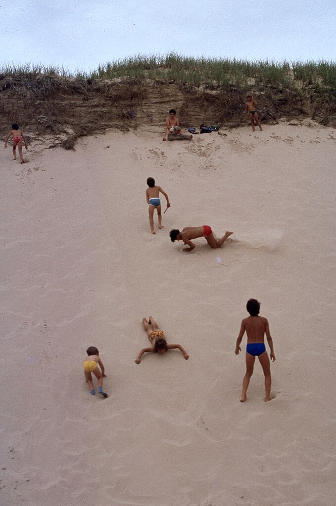
Dune du Nord (Dune), between Pointe-aux-Loups (Hameau) and Grosse-Île
Summary[edit]
| Description |
English: Îles de la Madeleine Archipelago, Les Îles-de-la-Madeleine (Municipality), Havre-aux-Maisons (Village), Route No. 199, between Pointe-aux-Loups (Hameau) and Grosse-Île, Dune du Nord (Dune), July 16, 1978
Français : Archipel des Îles de la Madeleine, Les Îles-de-la-Madeleine (Municipalité), Havre-aux-Maisons (Village), route nº 199, entre Pointe-aux-Loups (Hameau) et Grosse-Île, Dune du Nord (Dune), le 16 juillet 1978 |
| Date | |
| Source | Own work |
| Author | Nichole Ouellette/G. Lapointe |
| Camera location | | View this and other nearby images on: OpenStreetMap |
|---|
Children play in the sand, until they get drunk
- Magdalen Island Rochers aux Oiseaux (Bird Rocks)
- Old Harry, Grosse île
- Refuge faunique de la Pointe-de-l'Est
- Vaccinium macrocarpon Aiton. — Airelle à gros fruits. — Gros atocas ; aux îles de la Madeleine : Graines, Pommes de pré. — (Large Cranberry)
- Sarracenia purpurea Linné. — Sarracénie pourpre. — Petits cochons, Herbe-crapaud. — (Pitcher-plant).
Licensing[edit]
I, the copyright holder of this work, hereby publish it under the following license:
This file is licensed under the Creative Commons Attribution 4.0 International license.
- You are free:
- to share – to copy, distribute and transmit the work
- to remix – to adapt the work
- Under the following conditions:
- attribution – You must give appropriate credit, provide a link to the license, and indicate if changes were made. You may do so in any reasonable manner, but not in any way that suggests the licensor endorses you or your use.
File history
Click on a date/time to view the file as it appeared at that time.
| Date/Time | Thumbnail | Dimensions | User | Comment | |
|---|---|---|---|---|---|
| current | 15:19, 7 March 2024 | | 2,730 × 4,117 (3.24 MB) | Nichole Ouellette (talk | contribs) | Uploaded own work with UploadWizard |
You cannot overwrite this file.
File usage on Commons
There are no pages that use this file.
File usage on other wikis
The following other wikis use this file:
- Usage on en.wikipedia.org