File:002-1211 Enschede 002.JPG
From Wikimedia Commons, the free media repository
Jump to navigation
Jump to search
Size of this preview: 800 × 566 pixels. Other resolutions: 320 × 226 pixels | 640 × 453 pixels | 1,024 × 724 pixels | 1,280 × 905 pixels | 2,560 × 1,811 pixels | 3,648 × 2,580 pixels.
Original file (3,648 × 2,580 pixels, file size: 1.82 MB, MIME type: image/jpeg)
File information
Structured data
Captions
This is an image of a municipal monument in Enschede with number WN137 |
Summary[edit]
Description002-1211 Enschede 002.JPG |
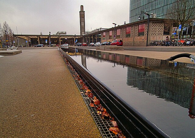
Nederlands: Nederland - Enschede - Stationsplein English: The Netherlands - Enschede - Stationsplein |
Date | |
Source | Own work |
Author | Microtoerisme |
Camera location | 52° 13′ 21.26″ N, 6° 53′ 31.26″ E | View this and other nearby images on: OpenStreetMap | 52.222573; 6.892018 |
---|
Licensing[edit]
I, the copyright holder of this work, hereby publish it under the following license:
This file is licensed under the Creative Commons Attribution-Share Alike 3.0 Unported license.
- You are free:
- to share – to copy, distribute and transmit the work
- to remix – to adapt the work
- Under the following conditions:
- attribution – You must give appropriate credit, provide a link to the license, and indicate if changes were made. You may do so in any reasonable manner, but not in any way that suggests the licensor endorses you or your use.
- share alike – If you remix, transform, or build upon the material, you must distribute your contributions under the same or compatible license as the original.
File history
Click on a date/time to view the file as it appeared at that time.
Date/Time | Thumbnail | Dimensions | User | Comment | |
---|---|---|---|---|---|
current | 15:40, 16 March 2013 | 3,648 × 2,580 (1.82 MB) | Cropbot (talk | contribs) | upload cropped version, operated by User:Lymantria. Summary: cropped off advertising watermark | |
19:53, 30 November 2012 | 3,648 × 2,736 (1.94 MB) | Microtoerisme (talk | contribs) | User created page with UploadWizard |
You cannot overwrite this file.
File usage on Commons
There are no pages that use this file.
Metadata
This file contains additional information such as Exif metadata which may have been added by the digital camera, scanner, or software program used to create or digitize it. If the file has been modified from its original state, some details such as the timestamp may not fully reflect those of the original file. The timestamp is only as accurate as the clock in the camera, and it may be completely wrong.
Image title |
|
---|---|
Camera manufacturer | FUJIFILM |
Camera model | FinePix HS10 HS11 |
Author | Jan Geerling |
Copyright holder | (c) Stichting Microtoerisme InZicht |
Exposure time | 1/200 sec (0.005) |
F-number | f/3.6 |
ISO speed rating | 100 |
Date and time of data generation | 12:56, 28 November 2012 |
Lens focal length | 4.2 mm |
Latitude | 52° 13′ 21.26″ N |
Longitude | 6° 53′ 31.27″ E |
Altitude | 53.2 meters above sea level |
City shown | Enschede |
Horizontal resolution | 72 dpi |
Vertical resolution | 72 dpi |
Software used | PaintShop Photo Pro 13,00 |
File change date and time | 19:42, 30 November 2012 |
Y and C positioning | Co-sited |
Exposure Program | Normal program |
Exif version | 2.2 |
Date and time of digitizing | 12:56, 28 November 2012 |
Meaning of each component |
|
Image compression mode | 4 |
APEX shutter speed | 7.6 |
APEX aperture | 3.7 |
APEX brightness | 6.3 |
APEX exposure bias | 0 |
Maximum land aperture | 3 APEX (f/2.83) |
Metering mode | Average |
Light source | Unknown |
Flash | Flash did not fire, compulsory flash suppression |
Supported Flashpix version | 1 |
Color space | sRGB |
Focal plane X resolution | 6,129 |
Focal plane Y resolution | 6,129 |
Focal plane resolution unit | 3 |
Sensing method | One-chip color area sensor |
File source | Digital still camera |
Scene type | A directly photographed image |
Custom image processing | Normal process |
Exposure mode | Auto exposure |
White balance | Auto white balance |
Scene capture type | Standard |
Sharpness | Normal |
Subject distance range | Unknown |
Unique image ID | 1b90e87cd5d0b479795bd2203d6b6162 |
GPS time (atomic clock) | 11:56 |
Geodetic survey data used | WGS-84 |
GPS date | 28 November 2012 |
GPS tag version | 0.0.2.2 |
IIM version | 4 |
Category | his |
Sublocation of city shown | Centrum |
Province or state shown | Overijssel |
Code for country shown | NLD |
Country shown | Nederland |
Writer | eigenaar van website InZicht: ww |
Structured data
Items portrayed in this file
depicts
some value
28 November 2012
52°13'21.263987982"N, 6°53'31.265987993"E
0.005 second
3.6
4.2 millimetre
100
image/jpeg
68b0c56151bd61c6695956457aff0bbfc58c2d09
1,913,290 byte
2,580 pixel
3,648 pixel
Hidden categories: