File:(Treviso) Duomo - top of the campanile with the bells.jpg
Jump to navigation
Jump to search

Size of this preview: 777 × 600 pixels. Other resolutions: 311 × 240 pixels | 622 × 480 pixels | 995 × 768 pixels | 1,280 × 988 pixels | 2,560 × 1,977 pixels | 9,470 × 7,312 pixels.
Original file (9,470 × 7,312 pixels, file size: 44.44 MB, MIME type: image/jpeg)
Captions
Captions
Add a one-line explanation of what this file represents
Summary[edit]
|
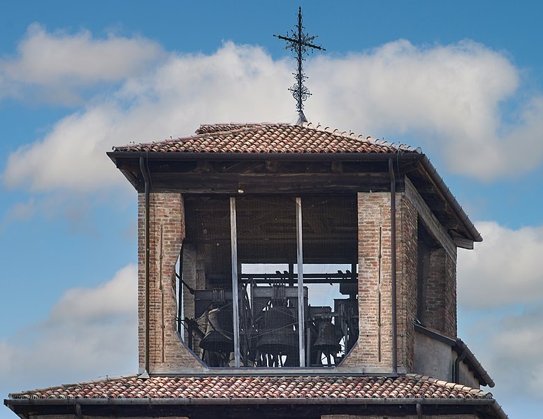
Duomo (Treviso) - Top of the campanile with the bells view from Calmaggiore | ||||||||||||||||||||||||||||||||||||||||||
|
| ||||||||||||||||||||||||||||||||||||||||||


_exterior_lions_right.jpg)
_exterior_lions_left.jpg)
_exterior_-_the_domes.jpg)
_Duomo_-_Bell_tower.jpg)
_Duomo_-_top_of_the_campanile_with_the_bells.jpg)
_Duomo_-_top_of_the_campanile_with_the_bells.jpg&action=edit§ion=1)
_Duomo_-_top_of_the_campanile_with_the_bells.jpg)
_Duomo_-_top_of_the_campanile_with_the_bells.jpg¶ms=045.666525_N_0012.242291_E_globe:Earth_class:object_type:object_region:IT_&language=en)
File history
Click on a date/time to view the file as it appeared at that time.
| Date/Time | Thumbnail | Dimensions | User | Comment | |
|---|---|---|---|---|---|
| current | 06:55, 22 November 2020 | | 9,470 × 7,312 (44.44 MB) | Archaeodontosaurus (talk | contribs) | Corrections |
| 17:42, 21 November 2020 |  | 9,470 × 6,572 (37.79 MB) | Archaeodontosaurus (talk | contribs) | {{Information |Description= |Source={{own}} |Date= |Author= Archaeodontosaurus |Permission= |other_versions= }} |
You cannot overwrite this file.
File usage on Commons
The following 5 pages use this file:
- User talk:Archaeodontosaurus/De Juillet 2020 à decmbre 2020
- Commons:Valued image candidates/(Treviso) Duomo - top of the campanile with the bells.jpg
- Commons:Valued images by topic/Places/Buildings/Religious buildings and shrines
- File:(Treviso) Duomo - Bell tower.jpg
- File:(Treviso) Duomo - top of the campanile with the bells.jpg
File usage on other wikis
The following other wikis use this file:
- Usage on de.wikipedia.org
- Usage on en.wikipedia.org
- Usage on fr.wikipedia.org
- Usage on it.wikipedia.org
_Duomo_-_top_of_the_campanile_with_the_bells.jpg&oldid=879755825)