File:(La) Calera - material cartográfico (1890).png
Jump to navigation
Jump to search

Size of this preview: 566 × 600 pixels. Other resolutions: 227 × 240 pixels | 453 × 480 pixels | 725 × 768 pixels | 966 × 1,024 pixels | 1,933 × 2,048 pixels | 5,869 × 6,218 pixels.
Original file (5,869 × 6,218 pixels, file size: 60.61 MB, MIME type: image/png)
Captions
Captions
Add a one-line explanation of what this file represents
Summary
[edit]| Description |
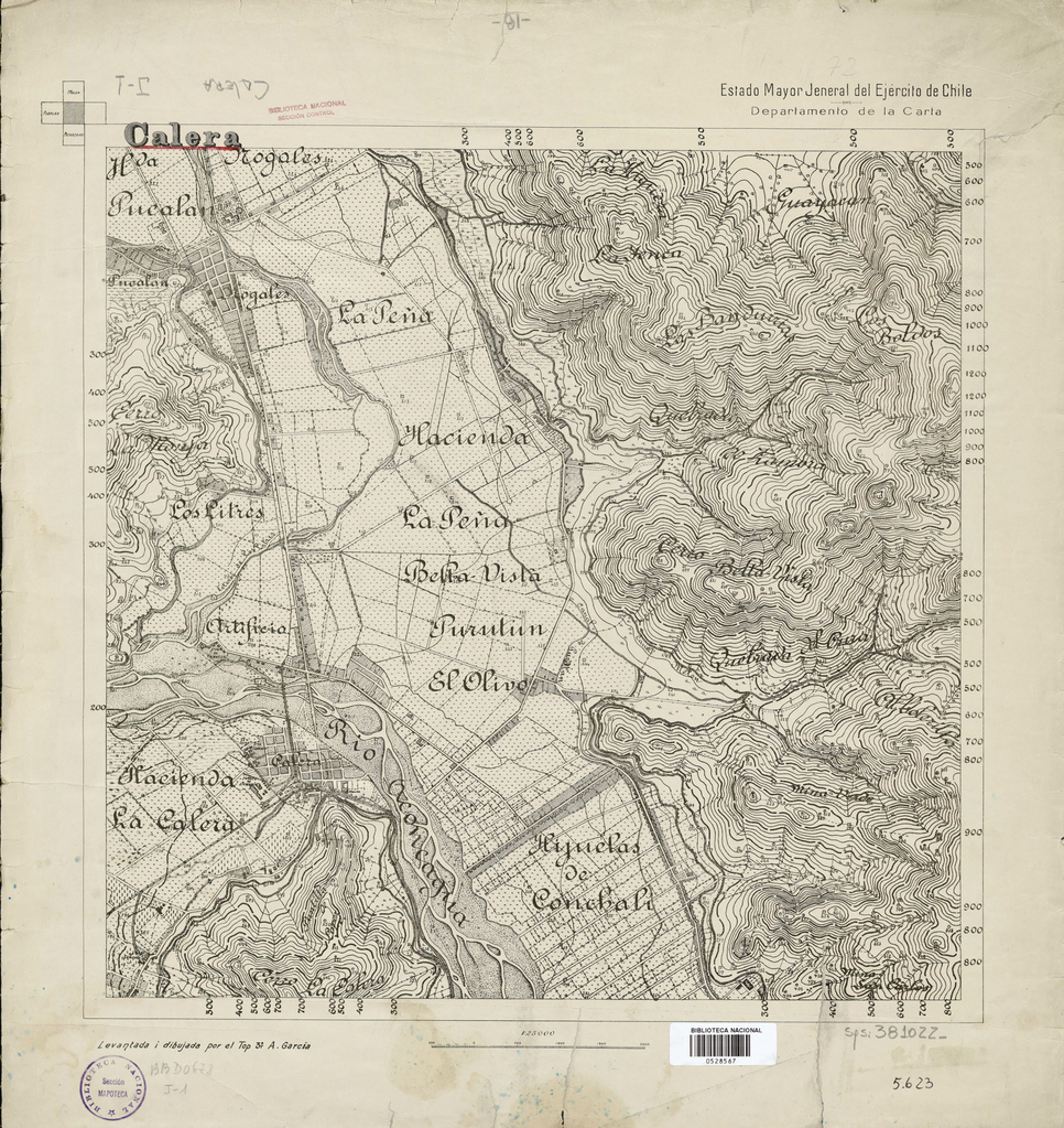
Español: Mapa de la localidad de Calera, 1890. |
| Date | |
| Source | http://www.bibliotecanacionaldigital.gob.cl/bnd/631/w3-article-154846.html |
| Author | Ejercito de Chile |
| Other versions |
_Calera_-_material_cartogr%C3%A1fico_(1890)_(cropped).png)
_Calera_-_material_cartogr%C3%A1fico_(1890).png&action=edit§ion=1)
Licensing
[edit]_Calera_-_material_cartogr%C3%A1fico_(1890).png&action=edit§ion=2)
This file has fallen into the public domain according to Chilean copyright law (No. 17336 and its amendments). Nevertheless, its author and source must be acknowledged.
See here for the type of material that is in the public domain (patrimonio cultural común / common cultural heritage).
|

|
File history
Click on a date/time to view the file as it appeared at that time.
| Date/Time | Thumbnail | Dimensions | User | Comment | |
|---|---|---|---|---|---|
| current | 03:44, 10 October 2021 | | 5,869 × 6,218 (60.61 MB) | LuisCG11 (talk | contribs) | Uploaded a work by Ejercito de Chile from http://www.bibliotecanacionaldigital.gob.cl/bnd/631/w3-article-154846.html with UploadWizard |
You cannot overwrite this file.
File usage on Commons
The following page uses this file:
_Calera_-_material_cartográfico_(1890).png&oldid=734015023)