File:梅ヶ谷峠.JPG
Jump to navigation
Jump to search

Size of this preview: 800 × 600 pixels. Other resolutions: 320 × 240 pixels | 640 × 480 pixels | 1,024 × 768 pixels | 1,280 × 960 pixels | 2,560 × 1,920 pixels | 3,264 × 2,448 pixels.
Original file (3,264 × 2,448 pixels, file size: 2.95 MB, MIME type: image/jpeg)
Captions
Captions
Add a one-line explanation of what this file represents
| Description |
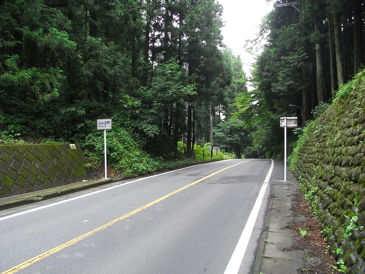
日本語: 梅ヶ谷峠 |
||
| Date | Taken on 1 July 2010, 09:54 (according to Exif data) | ||
| Source |
Self-photographed (original source on jawp: ja:File:梅ヶ谷峠.JPG) |
||
| Author |
This photo was taken with Ricoh Caplio R7 |
||
| Permission (Reusing this file) |
|
| Camera location | | View this and other nearby images on: OpenStreetMap |
|---|
The geographical information in this file was retrospectively estimated.
The location may therefore be somewhat imprecise. Verifying and refining these coordinates is strongly encouraged. |
File history
Click on a date/time to view the file as it appeared at that time.
| Date/Time | Thumbnail | Dimensions | User | Comment | |
|---|---|---|---|---|---|
| current | 00:22, 2 July 2010 | | 3,264 × 2,448 (2.95 MB) | 散歩 (talk | contribs) | {{Information |Description=梅ヶ谷峠 |Source=投稿者による撮影 |Date=2010 7 1 |Location=東京都青梅市及び日の出町の境界地点 |Author=散歩 |Permission={{PD-self}} |other_versions= }} |
You cannot overwrite this file.
File usage on Commons
There are no pages that use this file.
File usage on other wikis
The following other wikis use this file:
- Usage on ja.wikipedia.org