File:別所村道路元標.jpg
Jump to navigation
Jump to search

Size of this preview: 337 × 599 pixels. Other resolutions: 135 × 240 pixels | 270 × 480 pixels | 432 × 768 pixels | 576 × 1,024 pixels | 1,152 × 2,048 pixels | 2,988 × 5,312 pixels.
Original file (2,988 × 5,312 pixels, file size: 7.06 MB, MIME type: image/jpeg)
Captions
Captions
Add a one-line explanation of what this file represents
Summary[edit]
| Description |
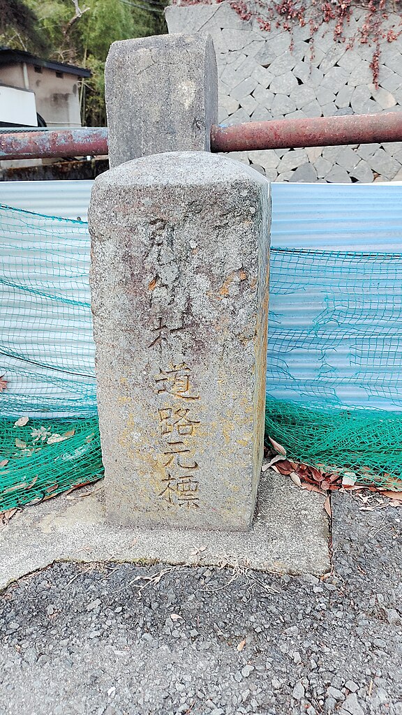
日本語: 上田市の別所温泉にある、大正道路法に基づき設置された旧別所村の道路元標 |
| Date | 7 January 2024, 07:12 |
| Source | Own work |
| Author | Komoro no kaze |
| Camera location | | View this and other nearby images on: OpenStreetMap |
|---|
Licensing[edit]
I, the copyright holder of this work, hereby publish it under the following license:
This file is licensed under the Creative Commons Attribution-Share Alike 4.0 International license.
- You are free:
- to share – to copy, distribute and transmit the work
- to remix – to adapt the work
- Under the following conditions:
- attribution – You must give appropriate credit, provide a link to the license, and indicate if changes were made. You may do so in any reasonable manner, but not in any way that suggests the licensor endorses you or your use.
- share alike – If you remix, transform, or build upon the material, you must distribute your contributions under the same or compatible license as the original.
| This file was uploaded via Mobile Android App (Commons mobile app) 4.2.1~14b6c455b. |
File history
Click on a date/time to view the file as it appeared at that time.
| Date/Time | Thumbnail | Dimensions | User | Comment | |
|---|---|---|---|---|---|
| current | 16:56, 7 January 2024 | | 2,988 × 5,312 (7.06 MB) | Komoro no kaze (talk | contribs) | Uploaded using Commons Mobile App |
You cannot overwrite this file.
File usage on Commons
The following page uses this file: