File:七星嶺步道.jpg
Jump to navigation
Jump to search

Size of this preview: 800 × 533 pixels. Other resolutions: 320 × 213 pixels | 640 × 427 pixels | 1,024 × 683 pixels | 1,280 × 853 pixels | 2,560 × 1,707 pixels | 5,184 × 3,456 pixels.
Original file (5,184 × 3,456 pixels, file size: 11.11 MB, MIME type: image/jpeg)
Captions
Captions
Add a one-line explanation of what this file represents
Summary[edit]
| Description |
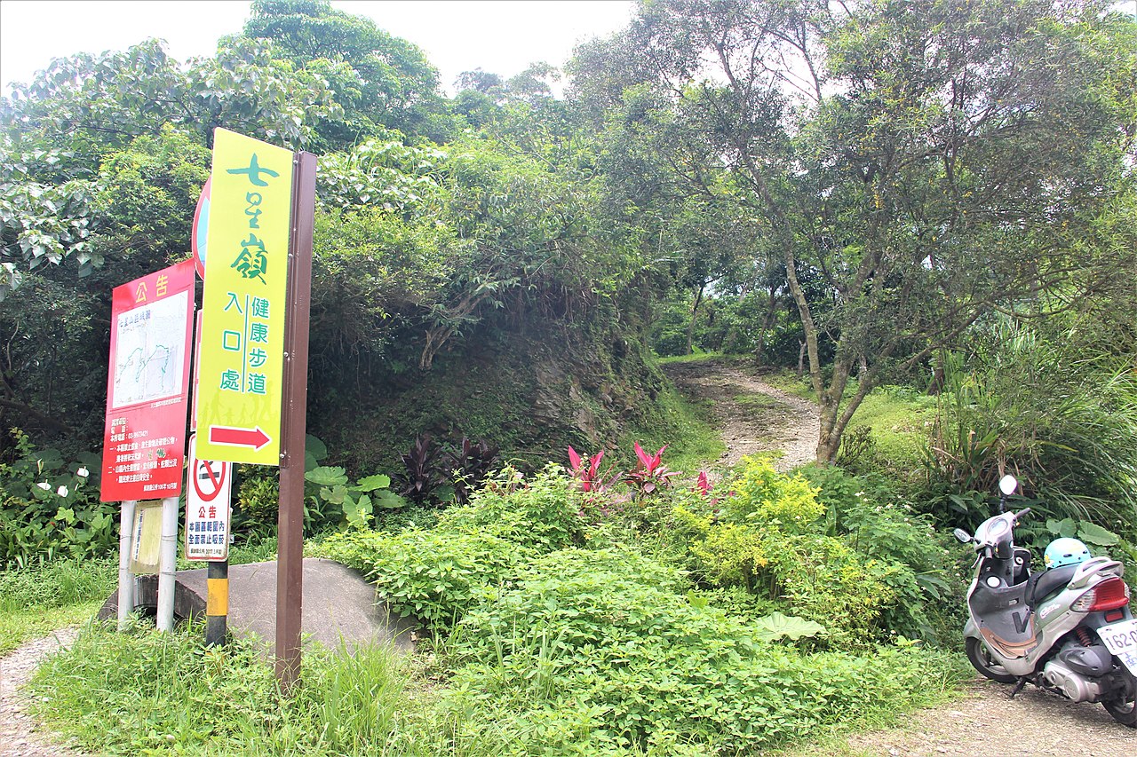
中文(臺灣):七星嶺為岬狀山丘,環繞於蘇澳鎮舊市區北邊,是由中央山脈東北方起始點的東澳嶺向東分岔出的幾條延稜之一。西起聖湖里後湖一帶,向東綿延至北方澳海岬,東西軸向腹地長約 4.5 公里,南北軸向最寬處為約 1.5 公里。嶺內設有七星嶺步道,全長約4.75公里,海拔最高處230公尺,主要有東、西兩個入口,東入口位於蘇澳鎮中心的蘇澳冷泉旁,,西入口則位於蘇澳運動公園附近。七星嶺現今已成為蘇澳人晨昏喜歡健身兼休閒的步道,沿著石階往上爬依序有一星觀泉,二星觀澳,三星觀山,四星觀樹,五星觀港,六星觀海,不但可遠眺蘭陽平原與無尾港、蘇澳港至南方澳漁村之人文景觀,登頂至星嶺公園,更可觀賞龜山島與太平洋遼闊海景以及岳明嶺腳一帶風光。 |
| Source | https://memory.culture.tw/Home/Detail?Id=282780&IndexCode=Culture_Place |
| Author | 創作者:莊文生;鐘碧娟;謝淑娟。貢獻者:宜蘭縣政府文化局 |
| Camera location | | View this and other nearby images on: OpenStreetMap |
|---|
Licensing[edit]
This file is licensed under the Creative Commons Attribution 3.0 Taiwan license.
- You are free:
- to share – to copy, distribute and transmit the work
- to remix – to adapt the work
- Under the following conditions:
- attribution – You must give appropriate credit, provide a link to the license, and indicate if changes were made. You may do so in any reasonable manner, but not in any way that suggests the licensor endorses you or your use.


|
This file, which was originally posted to an external website, has not yet been reviewed by an administrator or reviewer to confirm that the above license is valid. See Category:License review needed for further instructions.
|
File history
Click on a date/time to view the file as it appeared at that time.
| Date/Time | Thumbnail | Dimensions | User | Comment | |
|---|---|---|---|---|---|
| current | 07:59, 13 April 2022 | | 5,184 × 3,456 (11.11 MB) | Muyueh Bot (talk | contribs) |
You cannot overwrite this file.
File usage on Commons
There are no pages that use this file.