File:Карта-схема Крыма Первомайский район.png
Jump to navigation
Jump to search
No higher resolution available.
Карта-схема_Крыма_Первомайский_район.png (660 × 415 pixels, file size: 29 KB, MIME type: image/png)
Captions
Captions
Add a one-line explanation of what this file represents
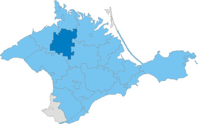
| Description | Карта-схема Крыма. Выделен Первомайский район | ||
| Date | |||
| Source | ru:Файл:Карта-схема_Крыма_9.png | ||
| Author | Ходырев Владимир | ||
| Permission (Reusing this file) |
|
File history
Click on a date/time to view the file as it appeared at that time.
| Date/Time | Thumbnail | Dimensions | User | Comment | |
|---|---|---|---|---|---|
| current | 02:29, 27 January 2012 | | 660 × 415 (29 KB) | DDima (talk | contribs) | high-res |
| 12:22, 19 February 2009 |  | 200 × 126 (15 KB) | А.Крымов (talk | contribs) | {{Information |Description=Карта-схема Крыма. Выделен Первомайский район |Source=ru:Файл:Карта-схема_Крыма_9.png |Date=1 |
You cannot overwrite this file.
File usage on Commons
The following 4 pages use this file:
File usage on other wikis
The following other wikis use this file:
- Usage on bg.wikipedia.org
- Usage on crh.wikipedia.org
- Usage on eo.wikipedia.org
- Usage on ro.wikipedia.org
- Usage on uk.wikisource.org
- Usage on vi.wikipedia.org
- Usage on www.wikidata.org
- Usage on zh.wikipedia.org