File:ВВЦ Фонтан Каменный цветок 2.JPG
Jump to navigation
Jump to search
Size of this preview: 800 × 600 pixels. Other resolutions: 320 × 240 pixels | 640 × 480 pixels | 1,024 × 768 pixels | 1,280 × 960 pixels | 2,560 × 1,920 pixels | 4,608 × 3,456 pixels.
Original file (4,608 × 3,456 pixels, file size: 4.45 MB, MIME type: image/jpeg)
Captions
Captions
Add a one-line explanation of what this file represents
Summary[edit]
| Description |
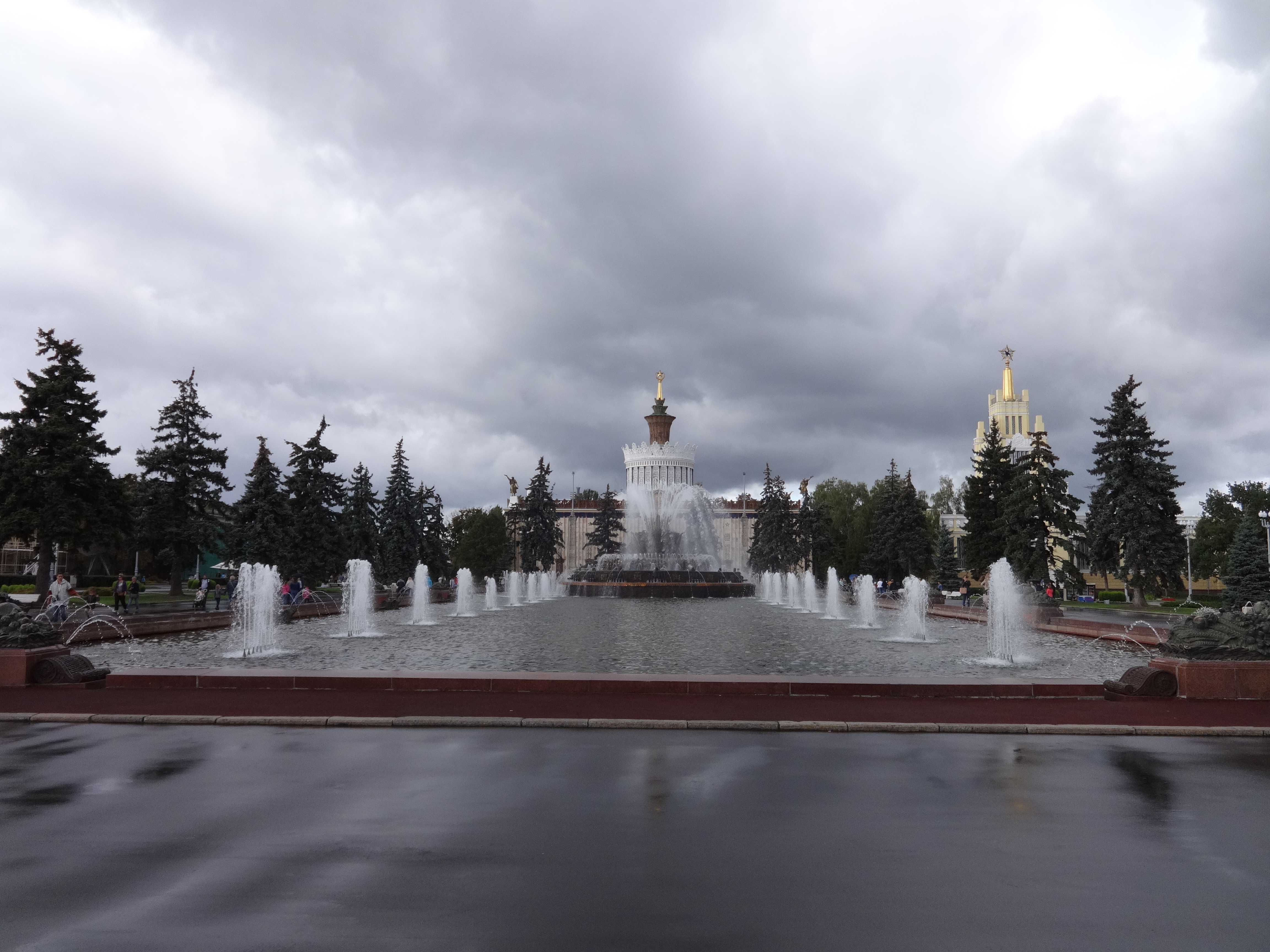
Русский: Фонтан «Каменный цветок» (Москва и Московская область, Москва, Мира проспект, 115)
|
||||
| Date | |||||
| Source | Own work | ||||
| Author | Надежда Пивоварова |
| Camera location | | View this and other nearby images on: OpenStreetMap |
|---|
Licensing[edit]

|
Warning: One or more elements in this file are protected by copyright
Some parts of this file (The Stone Flower Fountain, which was built in 1954 by Prokopy Dobrynin (died in 1966); see COM:CRT/Russia#Freedom of panorama) are not fully free but believed to be de minimis for this work. Derivatives of this file which focus more on the non-free element(s) may not qualify as de minimis and may be copyright violations. As a direct consequence, cropped versions of this file may require a review of their copyright status. This information template was included because the fountain is practically invisible here. |

|
I, the copyright holder of this work, hereby publish it under the following license:
This file is licensed under the Creative Commons Attribution-Share Alike 3.0 Unported license.
- You are free:
- to share – to copy, distribute and transmit the work
- to remix – to adapt the work
- Under the following conditions:
- attribution – You must give appropriate credit, provide a link to the license, and indicate if changes were made. You may do so in any reasonable manner, but not in any way that suggests the licensor endorses you or your use.
- share alike – If you remix, transform, or build upon the material, you must distribute your contributions under the same or compatible license as the original.

|
This image was uploaded as part of Wiki Loves Monuments 2014.
|
| Object location | | View this and other nearby images on: OpenStreetMap |
|---|
File history
Click on a date/time to view the file as it appeared at that time.
| Date/Time | Thumbnail | Dimensions | User | Comment | |
|---|---|---|---|---|---|
| current | 13:24, 11 October 2014 | | 4,608 × 3,456 (4.45 MB) | Надежда Пивоварова (talk | contribs) | User created page with UploadWizard |
You cannot overwrite this file.
File usage on Commons
The following 2 pages use this file:
File usage on other wikis
The following other wikis use this file:
- Usage on arz.wikipedia.org
- Usage on ru.wikipedia.org
- Usage on www.wikidata.org