File:Łasin (gmina) location map.png
Jump to navigation
Jump to search
Size of this preview: 624 × 599 pixels. Other resolutions: 250 × 240 pixels | 500 × 480 pixels | 938 × 901 pixels.
Original file (938 × 901 pixels, file size: 113 KB, MIME type: image/png)
Captions
Captions
Add a one-line explanation of what this file represents
| Description |
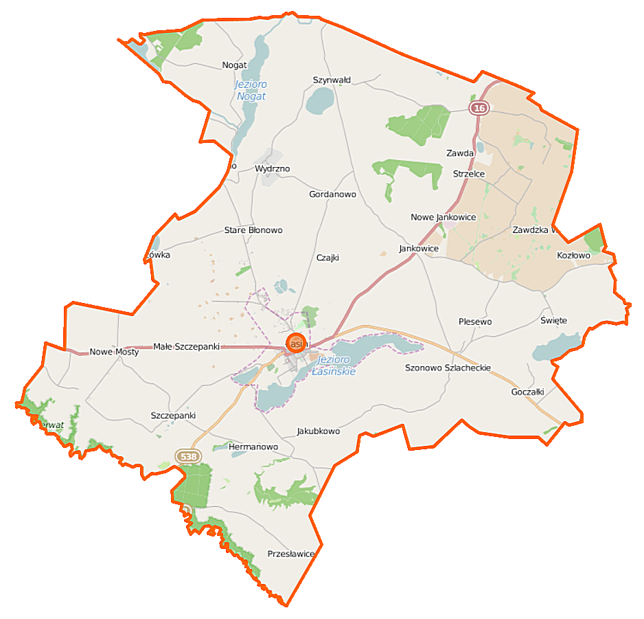
Polski: Mapa gminy Łasin, Polska
English: Map of Gmina Łasin, Poland |
|||||||||
| Date | ||||||||||
| Source | You may find a page on the OpenStreetMap wiki page for Łasin (gmina) | |||||||||
| Creator |
OpenStreetMap contributors OpenStreetMap contributors |
|||||||||
| Permission (Reusing this file) |
OpenStreetMap data is available under the Open Database License (details). Map tiles are licensed under the Creative Commons Attribution-ShareAlike 2.0 license (CC-BY-SA 2.0).
This file is licensed under the Creative Commons Attribution-Share Alike 2.0 Generic license.
|
|||||||||
| Geotemporal data | ||||||||||
| Bounding box |
|
|||||||||
| Georeferencing | If inappropriate please set warp_status = skip to hide. | |||||||||
File history
Click on a date/time to view the file as it appeared at that time.
| Date/Time | Thumbnail | Dimensions | User | Comment | |
|---|---|---|---|---|---|
| current | 12:05, 28 October 2014 | | 938 × 901 (113 KB) | VanWiel (talk | contribs) | {{OpenStreetMap | name = Łasin (gmina) | location = Łasin (gmina) | description = {{pl|Mapa gminy Łasin, Polska}} {{en|Map of Gmina Łasin, Poland}} | top = 53.6013 | left = 18.9686 | right... |
You cannot overwrite this file.
File usage on Commons
There are no pages that use this file.
File usage on other wikis
The following other wikis use this file:
- Usage on nl.wikipedia.org
- Usage on pl.wikipedia.org
- Łasin
- Łasin (gmina)
- Goczałki
- Huta-Strzelce
- Nowe Błonowo
- Nowe Jankowice (województwo kujawsko-pomorskie)
- Nowe Mosty
- Plesewo
- Szonowo
- Stare Błonowo
- Łasin-Wybudowanie
- Wydrzno
- Zawda
- Zawdzka Wola
- Jankowice (województwo kujawsko-pomorskie)
- Nogat (województwo kujawsko-pomorskie)
- Przesławice (województwo kujawsko-pomorskie)
- Jakubkowo (powiat grudziądzki)
- Kozłowo (powiat grudziądzki)
- Szczepanki (powiat grudziądzki)
- Szynwałd (powiat grudziądzki)
- Święte (powiat grudziądzki)
- Bogdanki (województwo kujawsko-pomorskie)
- Gordanowo
- Hermanowo (Szczepanki)
- Szonowo Królewskie
- Małe Szczepanki
- Ludwichowo (Szonowo)
- Nogat (jezioro)
- Kuchnia (jezioro)
- Jezioro Łasińskie
- Łasinka (rów)
- Łasin (stacja kolejowa)
- Parafia św. Katarzyny w Łasinie
- Parafia Matki Bożej Fatimskiej w Hucie-Strzelcach
- Parafia św. Wawrzyńca w Szczepankach
- Parafia Narodzenia Najświętszej Maryi Panny w Szynwałdzie
- Parafia św. Barbary w Świętem
- Łasin Pomorski
- Jezioro Święte (powiat grudziądzki)
- Cmentarz żydowski w Łasinie
- Kościół św. Katarzyny w Łasinie
- Zawdzka Wola (stacja kolejowa)
- Wydrzno (przystanek kolejowy)
- Strzelce (powiat grudziądzki)
- Muzeum Pożarnictwa Ziemi Pomorskiej w Łasinie
- Moduł:Mapa/dane/Łasin
- Moduł:Mapa/dane/Łasin (gmina)
- Kościół św. Wawrzyńca w Szczepankach
View more global usage of this file.
_location_map.png)
_location_map.png&oldid=477895705)