Nome Gold Rush
(Redirected from Nome gold rush)
English: Nome Gold Rush
-
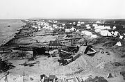
Nome beach August 1898 just before gold discovered on Anvil Creek
-
People leaving Klondike for Nome down Yukon Sep. 22nd 1899
-
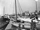
Nome port 1899, steam boat loading or unloading passengers
-
Nome, Alaska waterfront, dated '99
-
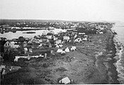
Ground view of Nome, Alaska 1899, two months after gold was found at beach.
-
Aireal view of Nome, Alaska looking Northwest, dated: 1900
-
Nome boat harbour ca. 1900
-
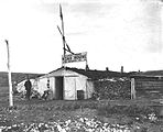
Road house Cape Nome, 1901
-
School children and teacher at Nome, ca. 1901
-
Nome freight cran ca 1901
-
Aireal view of Nome, Alaska. 1903
-
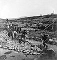
Gold miners at Anvil Creek, Nome, Alaska, dated: 1902
-
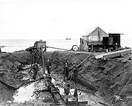
Large scale gold mining at Anvil Creek, Nome, Alaska 1903
-
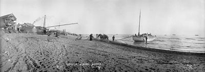
Nome, Alaska. Passengers brought ashore by boat, dated: 1903
-
Elevated view of Nome. Alaska, dated: 1903
-
Small scale hydraulic mining, Nome beach, 1904
-
Big scale hydraulic lift on Glacier Creek, Nome Sep. 27, 1905
-
Mining equipment on Nome beach 1905
-
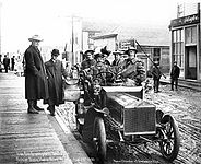
Car in Nome, 1905
-
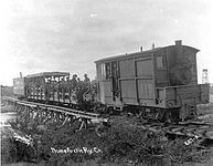
Train near Nome 1905
-
Winter dumps for sluicing on Little Creek at Nome, 1906
-
Roald Amundsen arrives at Nome, Alaska 1906
-
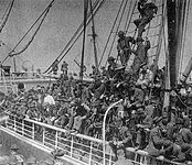
Prospectors and other people for Nome 1906
-
Cable way, Nome 1907. 1,400 feet long.
-
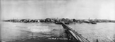
Waterfront view. First wharf at Nome, Alaska, dated: 1905
-
Waterfront view of Nome, Alaska, dated: October 1908
-
Prospectors (recreationel?) panning at Nome beach 1908. (Tramway in background)
-
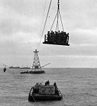
Nome, Alaska, tramway and lighter, 1908 or later
-
Underground mining with steam, third beach 1909
-
Hydralic mining near Nome 1910. Visible effects on landscape
-
Nome, Alaska: Dog sledges bringing passengers ashore, dated: 1 June 1914
-
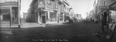
Kester Ave and Front St Nome, Alaska 1898-1908. Planks are seen on the street
-
Map of routes to Nome, Alaska 1901
-
Map of Nome Precinct, 1908
-
Detail of map of Nome Precinct, 1908
-
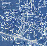
Map of Fort Davis 1909
-
Map of Snake River through Nome ca. 1904. Sand Spit and electric light plant are marked.


