File:Zonasafectadastragediavargas.jpg
Jump to navigation
Jump to search
Size of this preview: 778 × 599 pixels. Other resolutions: 312 × 240 pixels | 623 × 480 pixels | 997 × 768 pixels | 1,280 × 986 pixels | 2,160 × 1,664 pixels.
Original file (2,160 × 1,664 pixels, file size: 163 KB, MIME type: image/jpeg)
Captions
Captions
Add a one-line explanation of what this file represents
Summary
[edit]
| Description |
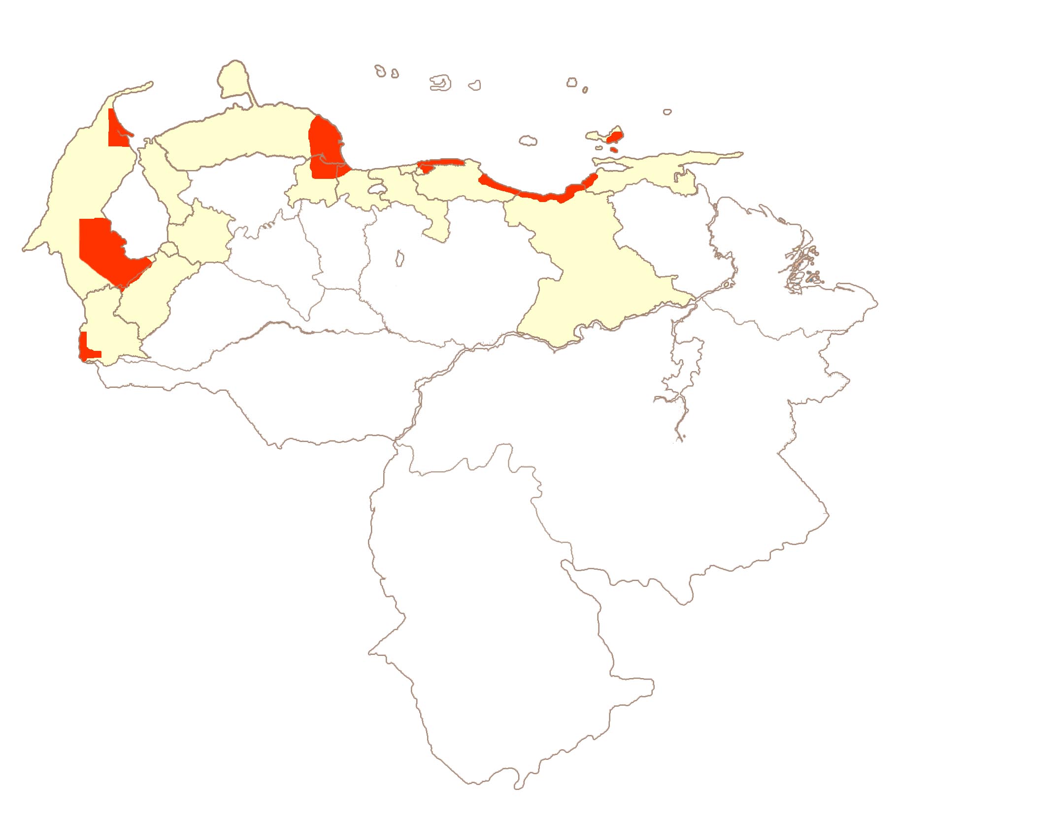
Español: Mapa realizado por el usuario Venex en el cual se muestran las zonas afectadas por el desastre en rojo y los estados afectados en un color claro. Mapa hecho según el informe del desastre. |
| Date | 26 October 2005 (original upload date) |
| Source | No machine-readable source provided. Own work assumed (based on copyright claims). |
| Author | No machine-readable author provided. Venex assumed (based on copyright claims). |
Licensing
[edit]
| I, the copyright holder of this work, release this work into the public domain. This applies worldwide. In some countries this may not be legally possible; if so: I grant anyone the right to use this work for any purpose, without any conditions, unless such conditions are required by law. |
File history
Click on a date/time to view the file as it appeared at that time.
| Date/Time | Thumbnail | Dimensions | User | Comment | |
|---|---|---|---|---|---|
| current | 11:52, 26 October 2005 | | 2,160 × 1,664 (163 KB) | Venex (talk | contribs) | Mapa realizado por el usuario Venex en el cual se muestran las zonas afectadas por el desastre en rojo y los estados afectados en un color claro. Mapa hecho según el informe del desastre. |
You cannot overwrite this file.
File usage on Commons
There are no pages that use this file.
File usage on other wikis
The following other wikis use this file:
- Usage on es.wikipedia.org