File:Zingergrabenschoenholz.png
Jump to navigation
Jump to search

Size of this preview: 511 × 599 pixels. Other resolutions: 205 × 240 pixels | 409 × 480 pixels | 655 × 768 pixels | 1,200 × 1,407 pixels.
Original file (1,200 × 1,407 pixels, file size: 3.85 MB, MIME type: image/png)
Captions
Captions
Add a one-line explanation of what this file represents
Summary
[edit]
| Description |
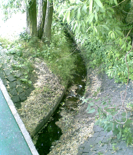
English: The Zingergraben in Berlin-Pankow is the rest, the most water is in the Nordgraben
Deutsch: Der Zingergraben unterhalb der Schönholzer Heide kurz vor seiner Mündung in die Panke, da der Nordgraben den Oberlauf abführt kommt hier nur noch ein Rinnsal an. |
| Date | |
| Source | Own work |
| Author | Boonekamp |
| Camera location | | View this and other nearby images on: OpenStreetMap |
|---|
Licensing
[edit]
| I, the copyright holder of this work, release this work into the public domain. This applies worldwide. In some countries this may not be legally possible; if so: I grant anyone the right to use this work for any purpose, without any conditions, unless such conditions are required by law. |
File history
Click on a date/time to view the file as it appeared at that time.
| Date/Time | Thumbnail | Dimensions | User | Comment | |
|---|---|---|---|---|---|
| current | 20:07, 15 June 2008 | | 1,200 × 1,407 (3.85 MB) | Boonekamp (talk | contribs) | {{Information |Description={{en|1=The Zingergraben in Berlin-Pankow is the rest, the most water is in the Nordgraben}} {{de|1=Der Zingergraben unterhalb der Schönholzer Heide kurz vor seiner Mündung in die Panke, da der Nordgraben den Oberlauf abführt |
You cannot overwrite this file.
File usage on Commons
The following page uses this file: