File:Zaporizhia Khortytsia Fortifications.jpg
From Wikimedia Commons, the free media repository
Jump to navigation
Jump to search
Size of this preview: 800 × 533 pixels. Other resolutions: 320 × 213 pixels | 640 × 427 pixels | 1,024 × 683 pixels | 1,280 × 853 pixels | 1,620 × 1,080 pixels.
Original file (1,620 × 1,080 pixels, file size: 301 KB, MIME type: image/jpeg)
File information
Structured data
Captions
DescriptionZaporizhia Khortytsia Fortifications.jpg |
|
||
Date | |||
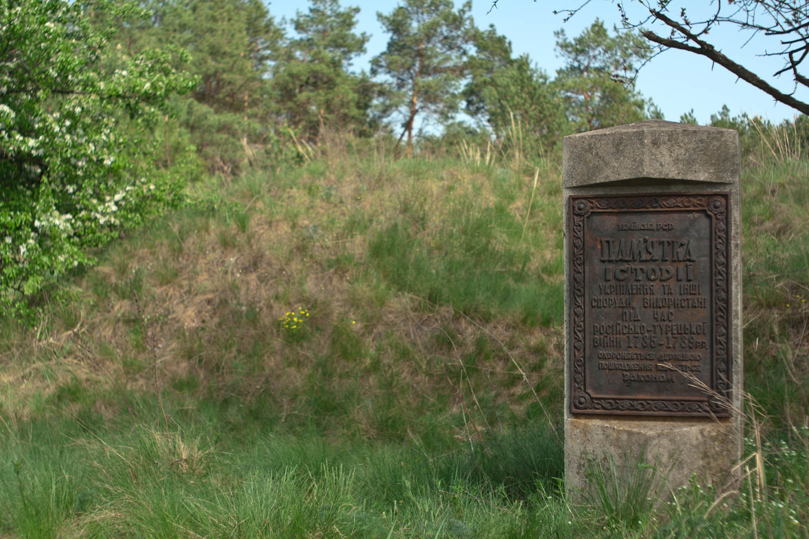
Source | Руины укреплений времен русско-турецкой войны – Wikimapia | ||
Author | topchik | ||
Permission (Reusing this file) |
This file is licensed under the Creative Commons Attribution-Share Alike 3.0 Unported license.
|
Object location | 47° 50′ 31.18″ N, 35° 03′ 41.99″ E | View this and other nearby images on: OpenStreetMap | 47.841995; 35.061665 |
---|
File history
Click on a date/time to view the file as it appeared at that time.
Date/Time | Thumbnail | Dimensions | User | Comment | |
---|---|---|---|---|---|
current | 03:31, 5 November 2013 | 1,620 × 1,080 (301 KB) | NickK (talk | contribs) | {{Information |Description={{uk|1=Укріплення б. Чавунова – б. Каракайка на острові uk:Хортиця, uk:Запоріжжя}} {{en|1=Chavunova—Karakayka fortification on en:Khortytsia island, ... |
You cannot overwrite this file.
File usage on Commons
The following page uses this file:
File usage on other wikis
The following other wikis use this file:
Metadata
This file contains additional information such as Exif metadata which may have been added by the digital camera, scanner, or software program used to create or digitize it. If the file has been modified from its original state, some details such as the timestamp may not fully reflect those of the original file. The timestamp is only as accurate as the clock in the camera, and it may be completely wrong.
Camera manufacturer | Canon |
---|---|
Camera model | Canon EOS 350D DIGITAL |
Author | unknown |
Exposure time | 1/750 sec (0.0013333333333333) |
ISO speed rating | 200 |
Date and time of data generation | 15:03, 3 May 2011 |
Horizontal resolution | 100 dpi |
Vertical resolution | 100 dpi |
File change date and time | 21:47, 15 March 2012 |
Exposure Program | Aperture priority |
Exif version | 2.21 |
Date and time of digitizing | 15:03, 3 May 2011 |
APEX shutter speed | 9.550747 |
APEX exposure bias | −0.5 |
Maximum land aperture | 1.6875 APEX (f/1.79) |
Metering mode | Average |
Flash | Flash did not fire, compulsory flash suppression |
Focal plane X resolution | 3,954.233409611 |
Focal plane Y resolution | 3,958.7628865979 |
Focal plane resolution unit | inches |
Custom image processing | Normal process |
Exposure mode | Auto exposure |
White balance | Manual white balance |
Scene capture type | Standard |
Width | 1,620 px |
Height | 1,080 px |
Image width | 1,620 px |
Image height | 1,080 px |
Serial number of camera | 2830706632 |
Owner of camera | unknown |
Software used | Adobe Photoshop Lightroom 3.3 |
IIM version | 2 |
Hidden categories:
- Cultural heritage monuments in Ukraine with known IDs
- Cultural heritage monuments in Ukraine missing SDC depicts
- Cultural heritage monuments in Ukraine missing SDC location of creation
- CC-BY-SA-3.0
- Images from WikiMapia
- Files with coordinates missing SDC location of creation
- Ukraine photographs taken on 2011-05-03