File:Zakroczym (gmina) location map.png
Jump to navigation
Jump to search

Size of this preview: 607 × 600 pixels. Other resolutions: 243 × 240 pixels | 486 × 480 pixels | 747 × 738 pixels.
Original file (747 × 738 pixels, file size: 113 KB, MIME type: image/png)
Captions
Captions
Add a one-line explanation of what this file represents
| Description |
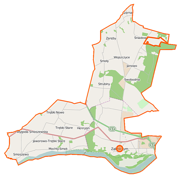
Polski: Mapa gminy Zakroczym, Polska
English: Map of Gmina Zakroczym, Poland |
|||||||||
| Date | ||||||||||
| Source | You may find a page on the OpenStreetMap wiki page for Zakroczym (gmina) | |||||||||
| Creator |
OpenStreetMap contributors OpenStreetMap contributors |
|||||||||
| Permission (Reusing this file) |
OpenStreetMap data is available under the Open Database License (details). Map tiles are licensed under the Creative Commons Attribution-ShareAlike 2.0 license (CC-BY-SA 2.0).
This file is licensed under the Creative Commons Attribution-Share Alike 2.0 Generic license.
|
|||||||||
| Geotemporal data | ||||||||||
| Bounding box |
|
|||||||||
| Georeferencing | If inappropriate please set warp_status = skip to hide. | |||||||||
File history
Click on a date/time to view the file as it appeared at that time.
| Date/Time | Thumbnail | Dimensions | User | Comment | |
|---|---|---|---|---|---|
| current | 11:08, 12 September 2014 | | 747 × 738 (113 KB) | VanWiel (talk | contribs) | |
| 05:37, 20 August 2014 |  | 747 × 738 (179 KB) | VanWiel (talk | contribs) | {{OpenStreetMap | name = Zakroczym (gmina) | location = Zakroczym (gmina) | description = {{pl|Mapa gminy Zakroczym, Polska}} {{en|Map of Gmina Zakroczym, Poland}} | top = 52.5354 | left = 20.4768... |
You cannot overwrite this file.
File usage on Commons
There are no pages that use this file.
File usage on other wikis
The following other wikis use this file:
- Usage on fr.wikipedia.org
- Usage on mk.wikipedia.org
- Usage on nl.wikipedia.org
- Usage on pl.wikipedia.org
- Zakroczym
- Port lotniczy Warszawa-Modlin
- Zakroczym (gmina)
- Błogosławie
- Emolinek
- Mochty-Smok
- Smoły
- Smoszewo
- Swobodnia
- Trębki Nowe
- Trębki Stare
- Wojszczyce
- Wólka Smoszewska
- Wygoda Smoszewska
- Śniadowo (województwo mazowieckie)
- Czarna (powiat nowodworski)
- Henrysin (powiat nowodworski)
- Janowo (powiat nowodworski)
- Strubiny (powiat nowodworski)
- Zaręby (powiat nowodworski)
- Most im. Obrońców Modlina 1939 r.
- Fort X Twierdzy Modlin
- Gałachy
- Cmentarz żydowski w Zakroczymiu
- Parafia św. Józefa w Zakroczymiu
- Jaworowo-Trębki Stare
- Kościół Podwyższenia Krzyża Świętego w Zakroczymiu
- Kościół św. Wawrzyńca i klasztor kapucynów w Zakroczymiu
- Muzeum Warszawskiej Prowincji Kapucynów w Zakroczymiu
- Moduł:Mapa/dane/Zakroczym
- Moduł:Mapa/dane/Zakroczym (gmina)
- Parafia św. Mateusza w Smoszewie
- Utrata (Zakroczym)
- Wójtostwo Zakroczymskie
- Pomnik Latarnia w Zakroczymiu
- Usage on pl.wikibooks.org
_location_map.png&oldid=506627314)