File:Yokawaminagidai1974.jpg
Jump to navigation
Jump to search

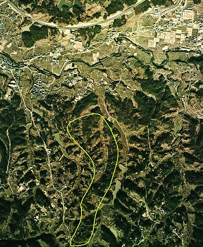
Size of this preview: 495 × 599 pixels. Other resolutions: 198 × 240 pixels | 396 × 480 pixels | 692 × 838 pixels.
Original file (692 × 838 pixels, file size: 350 KB, MIME type: image/jpeg)
Captions
Captions
Add a one-line explanation of what this file represents
Summary
[edit]
| Description |
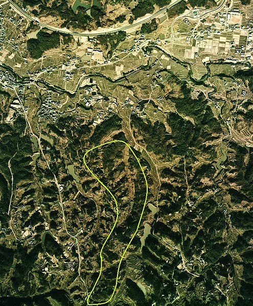
日本語: 1974年吉川町みなぎ台付近航空画像 |
| Date | 2014年2月23日作成 |
| Source | 1974年撮影Template:国土航空写真 |
| Author | ソースを元にY-nekoが改変 |
| Permission (Reusing this file) |
下記を参照して下さい |
Licensing
[edit]

|
The copyright holder of this file, the Ministry of Land, Infrastructure, Transport and Tourism of Japan, allows anyone to use it for any purpose, provided that the copyright holder is properly attributed. Redistribution, derivative work, commercial use, and all other use is permitted. |
Attribution:
Copyright © National Land Image Information (Color Aerial Photographs), Ministry of Land, Infrastructure, Transport and Tourism
|
 |
This image is copyrighted by the Ministry of Land, Infrastructure, Transport and Tourism of Japan. For terms of use, see the stipulation to use of National Land Information (in Japanese) and message from MLIT (in Japanese and English). When you display this image on an article, include the following phrase in the description: "Made based on National Land Image Information (Color Aerial Photographs), Ministry of Land, Infrastructure, Transport and Tourism".
|
File history
Click on a date/time to view the file as it appeared at that time.
| Date/Time | Thumbnail | Dimensions | User | Comment | |
|---|---|---|---|---|---|
| current | 04:22, 23 February 2014 | | 692 × 838 (350 KB) | Y-neko (talk | contribs) | {{Information |description=1974年吉川町みなぎ台付近航空画像 |date=2014年2月23日作成 |source=1974年撮影{{国土航空写真}} |author=ソースを元にY-nekoが改変 |Permission=下記を参照して下さい }} {{国土情報航... |
You cannot overwrite this file.
File usage on Commons
There are no pages that use this file.
File usage on other wikis
The following other wikis use this file:
- Usage on ja.wikipedia.org