File:X02.08 Felswand (oberhalb Medveja).jpg
Jump to navigation
Jump to search
Size of this preview: 800 × 527 pixels. Other resolutions: 320 × 211 pixels | 640 × 422 pixels | 1,024 × 675 pixels | 1,280 × 843 pixels | 2,560 × 1,687 pixels | 5,619 × 3,702 pixels.
Original file (5,619 × 3,702 pixels, file size: 6.01 MB, MIME type: image/jpeg)
Captions
Captions
Add a one-line explanation of what this file represents
Summary
[edit].jpg&action=edit§ion=1)
| Description |
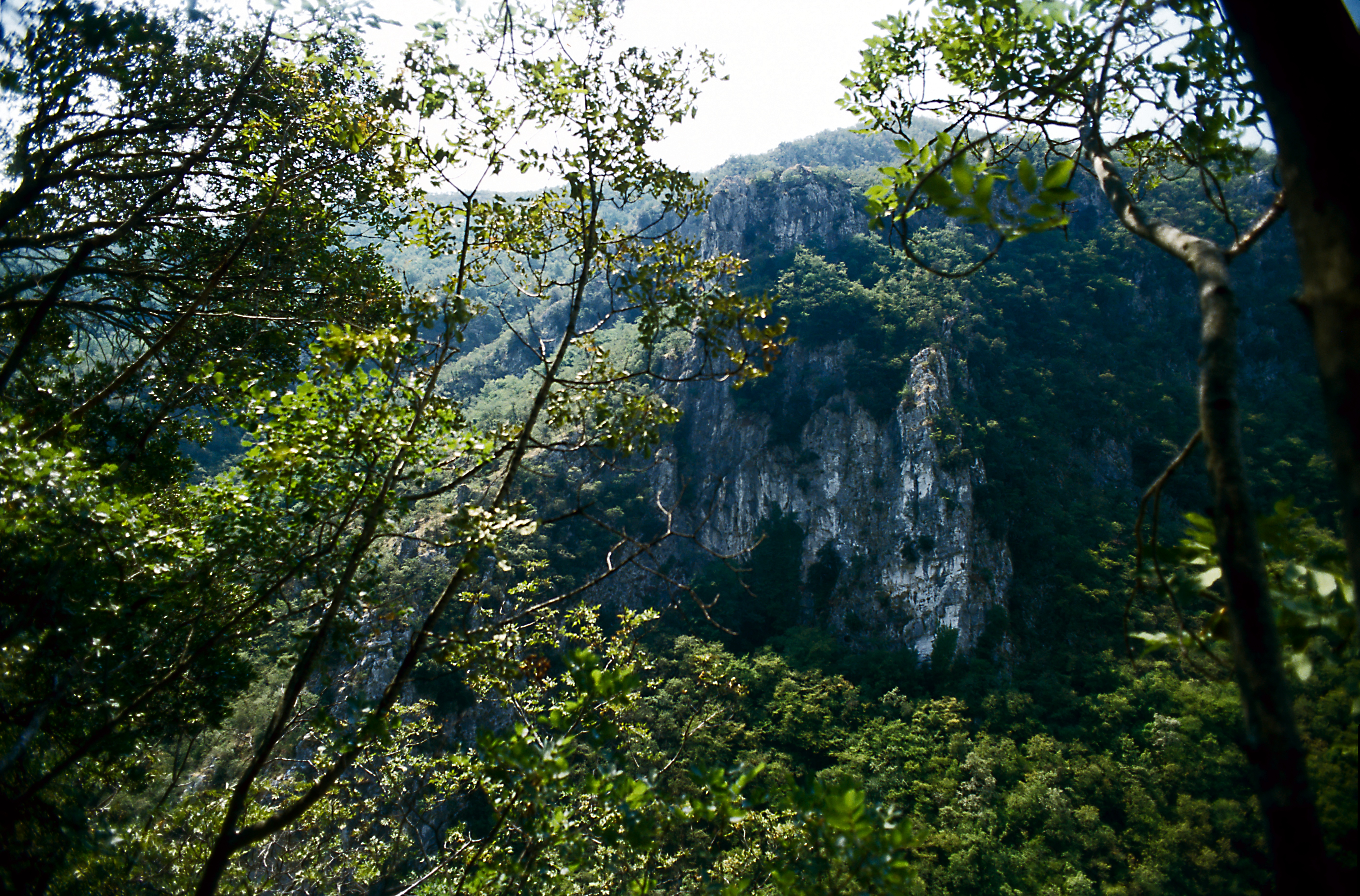
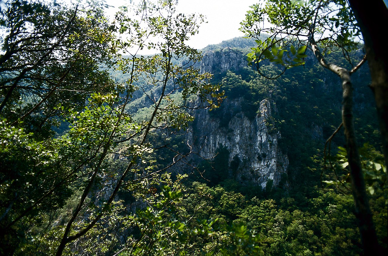
Deutsch: Bei einem Aufstiegsversuch von Medveja in Richtung Učka-Gebirge; es gibt zwar markierte Wanderwege, doch sind diese Markierungen zum Aufnahmezeitpunkt in vergleichsweise schlechtem Zustand. Der Weg sollte eigentlich bis Lovranska draga, doch verliert sich der obere Abschnitt, der auch an zwei Wasserfällen vorbeiführen sollte, im Gestrüpp. Die Steilwand liegt an der Südseite des Tals; etwa vom Ende des begehbaren Pfades. |
| Date | |
| Source | Own work |
| Author | Falk2 |
Licensing
[edit].jpg&action=edit§ion=2)
This file is licensed under the Creative Commons Attribution-Share Alike 4.0 International license.
- You are free:
- to share – to copy, distribute and transmit the work
- to remix – to adapt the work
- Under the following conditions:
- attribution – You must give appropriate credit, provide a link to the license, and indicate if changes were made. You may do so in any reasonable manner, but not in any way that suggests the licensor endorses you or your use.
- share alike – If you remix, transform, or build upon the material, you must distribute your contributions under the same or compatible license as the original.
File history
Click on a date/time to view the file as it appeared at that time.
| Date/Time | Thumbnail | Dimensions | User | Comment | |
|---|---|---|---|---|---|
| current | 07:16, 19 December 2022 | | 5,619 × 3,702 (6.01 MB) | Falk2 (talk | contribs) | {{Information |Beschreibung=Bei einem Aufstiegsversuch von Medveja in Richtung Učka-Gebirge; es gibt zwar markierte Wanderwege, doch sind diese Markierungen zum Aufnahmezeitpunkt in vergleichsweise schlechtem Zustand. Der Weg sollte eigentlich bis Lovranska draga, doch verliert sich der obere Abschnitt, der auch an zwei Wasserfällen vorbeiführen sollte, im Gestrüpp. Die Steilwand liegt an der Südseite des Tals; etwa vom Ende des begehbaren Pfades. |Quelle=eigenes Werk |Urheber=[[User:Falk2|Falk… |
You cannot overwrite this file.
File usage on Commons
There are no pages that use this file.
.jpg&oldid=772408121)