File:Wych Brook Valley - geograph.org.uk - 130895.jpg
Jump to navigation
Jump to search
No higher resolution available.
Wych_Brook_Valley_-_geograph.org.uk_-_130895.jpg (640 × 480 pixels, file size: 68 KB, MIME type: image/jpeg)
Captions
Captions
Add a one-line explanation of what this file represents
Summary
[edit]
| Description |
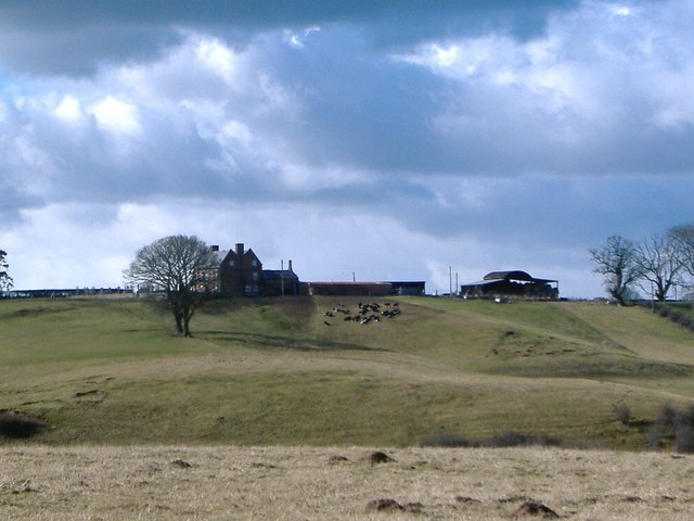
English: Wych Brook Valley. View across the valley of Wych Brook on bearing of 255 deg from Wigland footpath 8, just south of its junction with footpath 5. The foreground is in England (and SJ 4943), beyond the valley is Wales (and SJ 4843) with Pen-y-Bryn Farm on the skyline. Wych Brook itself - invisible in its deep valley in midfield - only the tree tops showing - forms the border between Cheshire and Wales. This undulating terrain is mostly sheep farming country. |
| Date | |
| Source | From geograph.org.uk |
| Author | Mike Harris |
| Attribution (required by the license) | Mike Harris / Wych Brook Valley / |
| Camera location | | View this and other nearby images on: OpenStreetMap |
|---|
_&language=en)
| Object location | | View this and other nearby images on: OpenStreetMap |
|---|
_&language=en)
Licensing
[edit]

|
This image was taken from the Geograph project collection. See this photograph's page on the Geograph website for the photographer's contact details. The copyright on this image is owned by Mike Harris and is licensed for reuse under the Creative Commons Attribution-ShareAlike 2.0 license.
|
This file is licensed under the Creative Commons Attribution-Share Alike 2.0 Generic license.
Attribution: Mike Harris
- You are free:
- to share – to copy, distribute and transmit the work
- to remix – to adapt the work
- Under the following conditions:
- attribution – You must give appropriate credit, provide a link to the license, and indicate if changes were made. You may do so in any reasonable manner, but not in any way that suggests the licensor endorses you or your use.
- share alike – If you remix, transform, or build upon the material, you must distribute your contributions under the same or compatible license as the original.
- Remove redundant categories and try to put this image in the most specific category/categories
- Remove this template
- The location categories are based on information from this geonames tool and this OpenStreetMap tool combined with a database. You can also have a look at this tool from mysociety.
- The topic category from Geograph was Farmland (find similar images at Geograph)
File history
Click on a date/time to view the file as it appeared at that time.
| Date/Time | Thumbnail | Dimensions | User | Comment | |
|---|---|---|---|---|---|
| current | 07:47, 31 January 2010 | | 640 × 480 (68 KB) | GeographBot (talk | contribs) | == {{int:filedesc}} == {{Information |description={{en|1=Wych Brook Valley. View across the valley of Wych Brook on bearing of 255 deg from Wigland footpath 8, just south of its junction with footpath 5. The foreground is in England (and SJ 4943), beyond |
You cannot overwrite this file.
File usage on Commons
There are no pages that use this file.
File usage on other wikis
The following other wikis use this file:
- Usage on en.wikipedia.org