File:Wv Casteggio banner.jpg
Jump to navigation
Jump to search
Size of this preview: 799 × 114 pixels. Other resolution: 1,640 × 234 pixels.
Original file (1,640 × 234 pixels, file size: 174 KB, MIME type: image/jpeg)
Captions
Captions
Add a one-line explanation of what this file represents
Summary
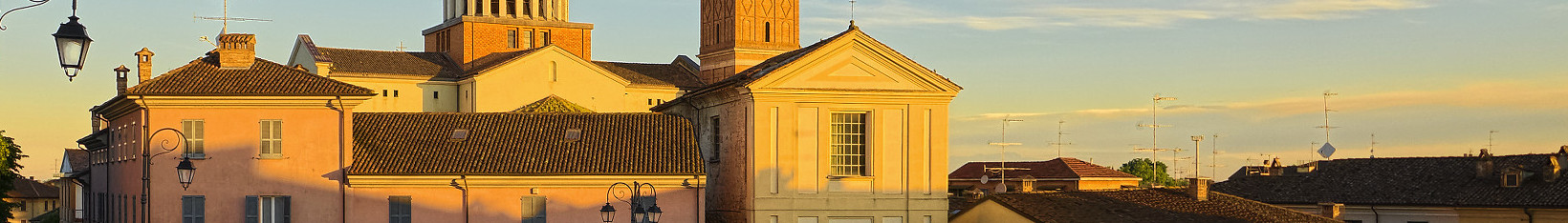
[edit]| Description | Largo Cristoforo Colombo |
| Date | 26 May 2013 (original upload date) |
| Source | https://web.archive.org/web/20161030070602/http://www.panoramio.com/photo/90887053 |
| Author | Terensky |
| Permission (Reusing this file) |
This file is licensed under the Creative Commons Attribution 3.0 Unported license. Attribution: Terensky
|
| Other versions | |
| Tags (from Panoramio photo page) | Casteggio, Casteggio, Lombardia, Oltrepo Pavese |

| Camera location | | View this and other nearby images on: OpenStreetMap |
|---|

File history
Click on a date/time to view the file as it appeared at that time.
| Date/Time | Thumbnail | Dimensions | User | Comment | |
|---|---|---|---|---|---|
| current | 08:54, 4 February 2021 | 1,640 × 234 (174 KB) | Teseo (talk | contribs) | File:Largo Cristoforo Colombo - panoramio.jpg cropped 18 % horizontally, 82 % vertically using CropTool with lossless mode. |
You cannot overwrite this file.
File usage on Commons
The following page uses this file: