File:Wpdms na-or mcksantiampasssb.png
Jump to navigation
Jump to search
No higher resolution available.
Wpdms_na-or_mcksantiampasssb.png (588 × 491 pixels, file size: 374 KB, MIME type: image/png)
Captions
Captions
Add a one-line explanation of what this file represents
Summary
[edit]
| Description |
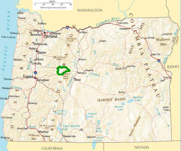
English: McKenzie-Santiam Pass Scenic Byway in Oregon. Route shown highlighted in green. By Matthew Trump based on :Image:National-atlas-oregon.png |
| Date | |
| Source | The National Atlas of the United States |
| Author | Matthew Trump |
Licensing
[edit]
This map was obtained from an edition of the National Atlas of the United States. Like almost all works of the U.S. federal government, works from the National Atlas are in the public domain in the United States.
Online access: NationalAtlas.gov | 1970 print edition: Library of Congress, Perry-Castañeda Library
|
Original upload log
[edit]
The original description page was here. All following user names refer to en.wikipedia.
- 2004-11-24 17:37 Decumanus 588×491× (383388 bytes) [[McKenzie-Santiam Pass Scenic Byway]] in [[Oregon]]. Route shown highlighted in green.
File history
Click on a date/time to view the file as it appeared at that time.
| Date/Time | Thumbnail | Dimensions | User | Comment | |
|---|---|---|---|---|---|
| current | 14:48, 21 December 2011 | | 588 × 491 (374 KB) | File Upload Bot (Magnus Manske) (talk | contribs) | {{BotMoveToCommons|en.wikipedia|year={{subst:CURRENTYEAR}}|month={{subst:CURRENTMONTHNAME}}|day={{subst:CURRENTDAY}}}} {{Information |Description={{en|en:McKenzie-Santiam Pass Scenic Byway in en:Oregon. Route shown highlighted in green. © 2 |
You cannot overwrite this file.
File usage on Commons
The following page uses this file:
File usage on other wikis
The following other wikis use this file:
- Usage on en.wikipedia.org
- Usage on www.wikidata.org