File:Woodlands Trace - Inside the Golden Pond Visitor Center - NARA - 7722904.jpg
Original file (2,048 × 1,618 pixels, file size: 1.3 MB, MIME type: image/jpeg)
Captions
Captions
Summary
[edit]
| Woodlands Trace - Inside the Golden Pond Visitor Center
( |
|||||||||||||||||||||||||||
|---|---|---|---|---|---|---|---|---|---|---|---|---|---|---|---|---|---|---|---|---|---|---|---|---|---|---|---|
| Author |
Unknown author or not provided |
||||||||||||||||||||||||||
| Record creator | Department of Transportation. Federal Highway Administration. Office of Planning, Environment, and Realty. Office of Natural and Human Environment. National Scenic Byways Program. 1991- | ||||||||||||||||||||||||||
| Title |
Woodlands Trace - Inside the Golden Pond Visitor Center |
||||||||||||||||||||||||||
| Description |
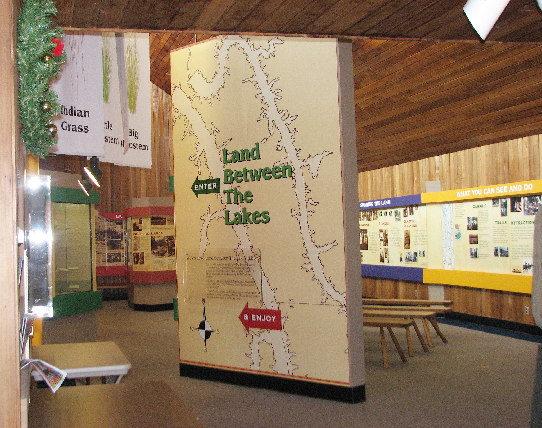
Original Caption: The Golden Pond Visitor Center has an exhibit area, recreation information, a picnic pavilion, a play area, and other amenities for travelers to enjoy. Location: Kentucky (36.751° N 88.070° W) Status: Public domain. Photography by Sherry Bailey |
||||||||||||||||||||||||||
| Date | Taken on 8 December 2008, 14:54 (according to Exif data) | ||||||||||||||||||||||||||
| Collection |
|
||||||||||||||||||||||||||
| Record ID |
|
||||||||||||||||||||||||||
| Source | U.S. National Archives and Records Administration | ||||||||||||||||||||||||||
| Other versions |
Please do not overwrite this file: any restoration work should be uploaded with a new name and linked in this page's "other versions=" parameter, so that this file represents the exact file found in the NARA catalog record to which it links. The metadata on this page was imported directly from NARA's catalog record; additional descriptive text may be added by Wikimedians to the template below with the "description=" parameter, but please do not modify the other fields. |
||||||||||||||||||||||||||
Licensing
[edit]
This file was provided to Wikimedia Commons by the National Archives and Records Administration as part of a cooperation project. The National Archives and Records Administration provides images depicting American and global history which are public domain or licensed under a free license.
|
| This image is a work of a United States Department of Transportation employee, taken or made as part of that person's official duties. As a work of the U.S. federal government, the image is in the public domain.
|
File history
Click on a date/time to view the file as it appeared at that time.
| Date/Time | Thumbnail | Dimensions | User | Comment | |
|---|---|---|---|---|---|
| current | 13:56, 11 July 2019 | | 2,048 × 1,618 (1.3 MB) | US National Archives bot (talk | contribs) | Bot-assisted upload of US National Archives Identifer 7722904. |
You cannot overwrite this file.
File usage on Commons
The following page uses this file: