File:Woodbury Lock No. 4 closeup.jpg
Jump to navigation
Jump to search

Size of this preview: 800 × 600 pixels. Other resolutions: 320 × 240 pixels | 640 × 480 pixels | 1,024 × 768 pixels | 1,280 × 960 pixels | 2,560 × 1,920 pixels | 2,816 × 2,112 pixels.
Original file (2,816 × 2,112 pixels, file size: 2.69 MB, MIME type: image/jpeg)
Captions
Captions
Add a one-line explanation of what this file represents
| Camera location | | View this and other nearby images on: OpenStreetMap |
|---|
| Object location | | View this and other nearby images on: OpenStreetMap |
|---|
| Description |
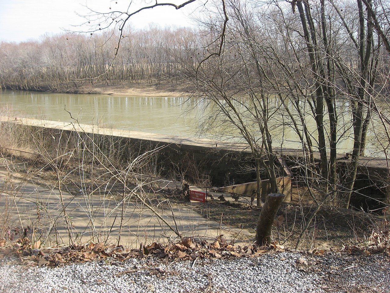
English: Overview of Woodbury Lock No. 4 on the Green River, located in Woodbury, Kentucky, United States. Photo taken from Lock Four Road to the southwest. Built in 1839, the lock was abandoned after the 1965 collapse of its associated dam. |
||
| Date | Taken on 1 March 2014 | ||
| Source | Own work | ||
| Author | Nyttend | ||
| Permission (Reusing this file) |
|
File history
Click on a date/time to view the file as it appeared at that time.
| Date/Time | Thumbnail | Dimensions | User | Comment | |
|---|---|---|---|---|---|
| current | 00:28, 10 March 2014 | | 2,816 × 2,112 (2.69 MB) | Nyttend (talk | contribs) | {{Location|37|11|0.4|N|86|37|59|W}} {{Object location|37|11|2|N|86|37|53|W}} {{Information |Description={{en|Overview of Woodbury Lock No. 4 on the {{w|Green River (Kentucky)|Green River}}, located in {{w|Woodbury, Kentucky|Woodbury}}, {{w|Kentucky}},... |
You cannot overwrite this file.
File usage on Commons
The following page uses this file: