File:Wolphaartsdijk 65E Kortgene & 65G Heinkenszand.jpg
Jump to navigation
Jump to search

Size of this preview: 800 × 529 pixels. Other resolutions: 320 × 212 pixels | 640 × 423 pixels | 1,024 × 677 pixels | 1,280 × 846 pixels | 2,560 × 1,692 pixels | 3,626 × 2,397 pixels.
Original file (3,626 × 2,397 pixels, file size: 1.53 MB, MIME type: image/jpeg)
Captions
Captions
Add a one-line explanation of what this file represents
Summary
[edit]
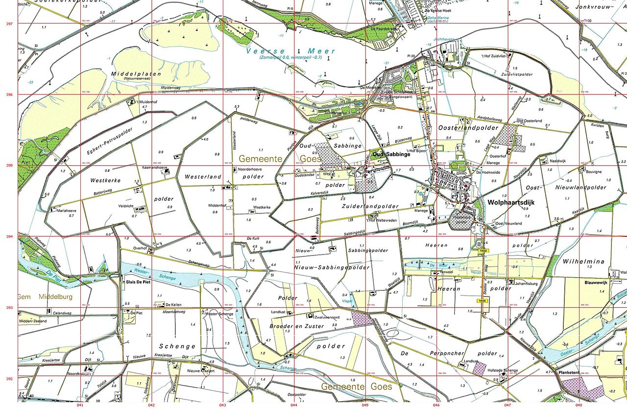
| Description | Gemonteerde uitsnede gemeente Wolphaartdsijk (& Oud-Sabbinge) met coördinatenstel |
| Date | Ongeveer 1990 |
| Source | Ingescande kaarten: 65E Kortgene & 65G Heinkenszand |
| Author | Topografische Dienst |
Licensing
[edit]
I, the copyright holder of this work, hereby publish it under the following licenses:

|
Permission is granted to copy, distribute and/or modify this document under the terms of the GNU Free Documentation License, Version 1.2 or any later version published by the Free Software Foundation; with no Invariant Sections, no Front-Cover Texts, and no Back-Cover Texts. A copy of the license is included in the section entitled GNU Free Documentation License. |
This file is licensed under the Creative Commons Attribution 3.0 Unported license.
- You are free:
- to share – to copy, distribute and transmit the work
- to remix – to adapt the work
- Under the following conditions:
- attribution – You must give appropriate credit, provide a link to the license, and indicate if changes were made. You may do so in any reasonable manner, but not in any way that suggests the licensor endorses you or your use.
You may select the license of your choice.
File history
Click on a date/time to view the file as it appeared at that time.
| Date/Time | Thumbnail | Dimensions | User | Comment | |
|---|---|---|---|---|---|
| current | 14:46, 27 June 2012 | | 3,626 × 2,397 (1.53 MB) | Joopr132 (talk | contribs) | {{Information |Description=Gemonteerde uitsnede gemeente Wolphaartdsijk (& Oud-Sabbinge) met coördinatenstel |Source=Ingescande kaarten: 65E Kortgene & 65G Heinkenszand |Date=Ongeveer 1990 |Author=Topografische Dienst |Permission= |other_versions= }} ... |
You cannot overwrite this file.
File usage on Commons
The following page uses this file:
File usage on other wikis
The following other wikis use this file:
- Usage on nl.wikipedia.org
- Usage on www.wikidata.org