File:Witkowo (gmina) location map.png
Jump to navigation
Jump to search

Size of this preview: 597 × 599 pixels. Other resolutions: 239 × 240 pixels | 478 × 480 pixels | 780 × 783 pixels.
Original file (780 × 783 pixels, file size: 113 KB, MIME type: image/png)
Captions
Captions
Add a one-line explanation of what this file represents
| Description |
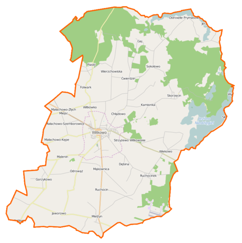
Polski: Mapa gminy Witkowo, Polska
English: Map of Gmina Witkowo, Poland |
|||||||||
| Date | ||||||||||
| Source | You may find a page on the OpenStreetMap wiki page for Witkowo (gmina) | |||||||||
| Creator |
OpenStreetMap contributors OpenStreetMap contributors |
|||||||||
| Permission (Reusing this file) |
OpenStreetMap data is available under the Open Database License (details). Map tiles are licensed under the Creative Commons Attribution-ShareAlike 2.0 license (CC-BY-SA 2.0).
This file is licensed under the Creative Commons Attribution-Share Alike 2.0 Generic license.
|
|||||||||
| Geotemporal data | ||||||||||
| Bounding box |
|
|||||||||
| Georeferencing | If inappropriate please set warp_status = skip to hide. | |||||||||
File history
Click on a date/time to view the file as it appeared at that time.
| Date/Time | Thumbnail | Dimensions | User | Comment | |
|---|---|---|---|---|---|
| current | 10:22, 1 December 2014 | | 780 × 783 (113 KB) | VanWiel (talk | contribs) | |
| 07:08, 28 November 2014 |  | 780 × 783 (113 KB) | VanWiel (talk | contribs) | {{OpenStreetMap | name = Witkowo (gmina) | location = Witkowo (gmina) | description = {{pl|Mapa gminy Witkowo, Polska}} {{en|Map of Gmina Witkowo, Poland}} | top = 52.5288 | bottom = 52.3647 | left... |
You cannot overwrite this file.
File usage on Commons
There are no pages that use this file.
File usage on other wikis
The following other wikis use this file:
- Usage on fr.wikipedia.org
- Usage on pl.wikipedia.org
- Witkowo
- Witkowo (gmina)
- Chłądowo
- Ćwierdzin
- Gorzykowo
- Jaworowo (powiat gnieźnieński)
- Małachowo-Kępe
- Małachowo-Szemborowice
- Małachowo-Wierzbiczany
- Małachowo-Złych Miejsc
- Mielżyn
- Mąkownica
- Ostrowite Prymasowskie
- Ruchocin
- Ruchocinek
- Skorzęcin (wieś w województwie wielkopolskim)
- Strzyżewo Witkowskie
- Wiekowo (województwo wielkopolskie)
- Witkówko
- Czajki (województwo wielkopolskie)
- Królewiec (powiat gnieźnieński)
- Malenin (województwo wielkopolskie)
- Odrowąż (województwo wielkopolskie)
- Wierzchowiska (województwo wielkopolskie)
- Dębina (powiat gnieźnieński)
- Folwark (powiat gnieźnieński)
- Gaj (powiat gnieźnieński)
- Kamionka (powiat gnieźnieński)
- Kołaczkowo (powiat gnieźnieński)
- Piaski (powiat gnieźnieński)
- Sokołowo (powiat gnieźnieński)
- Jezioro Ostrowite (powiat gnieźnieński)
- Niedzięgiel
- Kościół św. Mikołaja w Witkowie
- Bank Ludowy w Witkowie
- Głożyny (Ruchocinek)
- Krzyżówka (powiat gnieźnieński)
- Popielarze (powiat gnieźnieński)
- Raszewo (Ostrowite Prymasowskie)
- Skorzęcin (osada leśna w województwie wielkopolskim)
- Stary Dwór (województwo wielkopolskie)
- Witkowo (stacja kolejowa)
- Parafia św. Mikołaja w Witkowie
- Małachowo (przystanek kolejowy)
- Strzyżewo Wąskotorowe
- Wiekowo Wąskotorowe
- Parafia Wszystkich Świętych w Mielżynie
- Parafia św. Marcina w Ostrowitem Prymasowskim
- Parafia Matki Bożej Królowej Polski w Gorzykowie
View more global usage of this file.
_location_map.png)
_location_map.png&oldid=607603699)