File:Wistinghauserstr01.jpg
Jump to navigation
Jump to search

Size of this preview: 800 × 600 pixels. Other resolutions: 320 × 240 pixels | 640 × 480 pixels | 1,024 × 768 pixels | 1,280 × 960 pixels | 2,304 × 1,728 pixels.
Original file (2,304 × 1,728 pixels, file size: 1.04 MB, MIME type: image/jpeg)
Captions
Captions
Add a one-line explanation of what this file represents
Summary
[edit]
| Description |
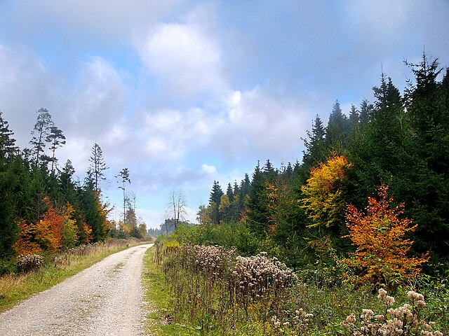
Deutsch: Waldpartie am Südhang des Teutoburger Waldes in der Nähe von Oerlinghausen in Nordrhein-Westfalen, Deutschland.
English: View to the southern slope of Teutoburg Forest near Oerlinghausen in North Rhine-Westphalia, Germany. |
| Date | |
| Source | Own work |
| Author | Nikater |
| Permission (Reusing this file) |
Own work, all rights released (Public domain) |
| Camera location | | View this and other nearby images on: OpenStreetMap |
|---|
Licensing
[edit]
| I, the copyright holder of this work, release this work into the public domain. This applies worldwide. In some countries this may not be legally possible; if so: I grant anyone the right to use this work for any purpose, without any conditions, unless such conditions are required by law. |
File history
Click on a date/time to view the file as it appeared at that time.
| Date/Time | Thumbnail | Dimensions | User | Comment | |
|---|---|---|---|---|---|
| current | 21:26, 24 November 2014 | | 2,304 × 1,728 (1.04 MB) | Nikater (talk | contribs) | {{Information |Description= {{de| Waldpartie am Südhang (Fliegerkuppe) in der Nähe von Oerlinghausen in Nordrhein-Westfalen, Deutschland.}} {{en|View to the southern slope of Teutoburg Forest near Oerli... |
You cannot overwrite this file.
File usage on Commons
There are no pages that use this file.