File:William Smith geological map of Cumberland.jpg
Jump to navigation
Jump to search

Size of this preview: 521 × 600 pixels. Other resolutions: 208 × 240 pixels | 417 × 480 pixels | 667 × 768 pixels | 1,070 × 1,232 pixels.
Original file (1,070 × 1,232 pixels, file size: 506 KB, MIME type: image/jpeg)
Captions
Captions
Add a one-line explanation of what this file represents
Summary
[edit]
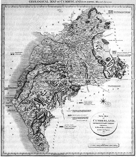
| Description | William Smith's geological map of Cumberland, 1824 |
| Date | |
| Source | Scan by User:Geoz, 2005. Some image editing by Jo |
| Author | drwan by en:William Smith, scan by User:Geoz, 2005. Some image editing by Jo, 2008 |
Licensing
[edit]
|
This work is in the public domain in its country of origin and other countries and areas where the copyright term is the author's life plus 70 years or fewer. | |
| This file has been identified as being free of known restrictions under copyright law, including all related and neighboring rights. | |
File history
Click on a date/time to view the file as it appeared at that time.
| Date/Time | Thumbnail | Dimensions | User | Comment | |
|---|---|---|---|---|---|
| current | 20:30, 18 January 2008 | | 1,070 × 1,232 (506 KB) | Jo Weber (talk | contribs) | == Summary == William Smith's geological map of Cumberland, 1824. Scan by User:Geoz, 2005. == Licensing == {{PD-old}} Category:Geological maps |
| 12:12, 4 November 2005 |  | 1,089 × 1,233 (521 KB) | Geoz (talk | contribs) | William Smith's geological map of Cumberland, 1824. Scan by User:Geoz, 2005. |
You cannot overwrite this file.
File usage on Commons
The following page uses this file:
File usage on other wikis
The following other wikis use this file: