File:Willem Albert Bachiene, Afbeelding van 'T Joodsche Land toen het aan de heerschappij der Romeinen (FL36557272 3901032).jpg
Jump to navigation
Jump to search

Size of this preview: 749 × 600 pixels. Other resolutions: 300 × 240 pixels | 599 × 480 pixels | 959 × 768 pixels | 1,279 × 1,024 pixels | 2,557 × 2,048 pixels | 11,715 × 9,382 pixels.
Original file (11,715 × 9,382 pixels, file size: 150.82 MB, MIME type: image/jpeg)
Captions
Captions
Add a one-line explanation of what this file represents
Summary
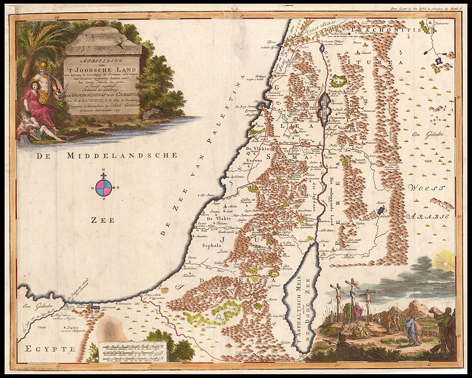
[edit]| Willem Albert Bachiene: Afbeelding van 'T Joodsche Land toen het aan de heerschappij der Romeinen
( |
||||||||||||||||||||||||
|---|---|---|---|---|---|---|---|---|---|---|---|---|---|---|---|---|---|---|---|---|---|---|---|---|
| Artist |
| |||||||||||||||||||||||
| Contributors | Jagen, Jan van | |||||||||||||||||||||||
| Title |
Afbeelding van 'T Joodsche Land toen het aan de heerschappij der Romeinen |
|||||||||||||||||||||||
| Publisher |
publisher not identified |
|||||||||||||||||||||||
| Description |
Afbeelding van 'T Joodsche Land toen het aan de heerschappij der Romeinen.... J. van Jagen mapp Sculpsit et figur: apposite: sculpturam curavit. |
|||||||||||||||||||||||
| Language | Dutch | |||||||||||||||||||||||
| Publication date | from 1748 until 1750 | |||||||||||||||||||||||
| Medium | 1 online resource (1 map). | |||||||||||||||||||||||
| Collection |
|
|||||||||||||||||||||||
| Current location |
|
|||||||||||||||||||||||
| Place of publication | unknown | |||||||||||||||||||||||
| search Merhav catalog | unknown | |||||||||||||||||||||||
| Notes | Digital image of the original in Amir Cahanovitc Collection, Israel. ACC 770.; From: Atlas van Twaalf Landkarten met het nodig Berigt tot de Bybelsche Geschiednisse Uitgegeven by Nicolaas Goetzee 1748 en 1750. | |||||||||||||||||||||||
| IE PID | IE36557269 | |||||||||||||||||||||||
| Rosetta filename | FL36557272 | |||||||||||||||||||||||
| NNL item ID (P3959) | 990039010320205171 | |||||||||||||||||||||||
| search Merhav catalog | Dutch, Willem Albert Bachiene | |||||||||||||||||||||||
| search Merhav catalog | ChristianityMapspublisher not identified | |||||||||||||||||||||||
| Source/Photographer |
|
|||||||||||||||||||||||
| Other versions | ||||||||||||||||||||||||
| Jpg / Tif version |
|
|||||||||||||||||||||||

.jpg)

.jpg&action=edit§ion=1)
Licensing
[edit].jpg&action=edit§ion=2)
The copyright situation of this work is theoretically uncertain, because in the country of origin copyright lasts 70 years after the death of the author, and the date of the author's death is unknown. However, the date of creation of the work was over 120 years ago, and it is thus a reasonable assumption that the copyright has expired (see here for the community discussion). Do not use this template if the date of death of the author is known.
| |
| This file has been identified as being free of known restrictions under copyright law, including all related and neighboring rights. | |
[[Category:]]
File history
Click on a date/time to view the file as it appeared at that time.
| Date/Time | Thumbnail | Dimensions | User | Comment | |
|---|---|---|---|---|---|
| current | 22:47, 28 August 2023 | | 11,715 × 9,382 (150.82 MB) | Geagea (talk | contribs) | pattypan 22.03 |
You cannot overwrite this file.
File usage on Commons
The following page uses this file:
.jpg&oldid=796767292)